
Liard River Corridor Provincial Park, provincial park in British Columbia, Canada
Locatie: Northern Rockies Regional Municipality
Ontstaan: 28 juni 1999
Onderdeel van: Liard River Corridor Provincial Park and Protected Area
GPS-coördinaten: 59.30000,-125.38333
Laatste update: 30 maart 2025 om 14:32
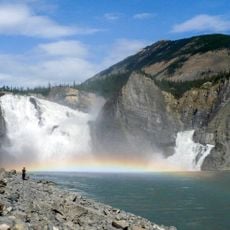
Nationaal park Nahanni
257 km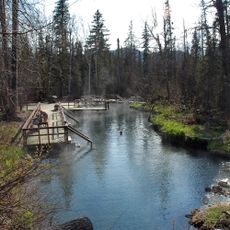
Liard River Hot Springs Provincial Park
40.4 km
Level Mountain
357.2 km
Montney Formation
390.6 km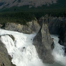
Virginia Falls
257.6 km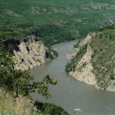
Grand Canyon of the Stikine
337.8 km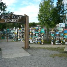
Sign Post Forest
205.6 km
Mount Nirvana
312.8 km
Nahanni Butte
222.6 km
King Peak
123.6 km
Nationaal park Nááts'ihch'oh
363.4 km
Northern Rocky Mountains Provincial Park
136.7 km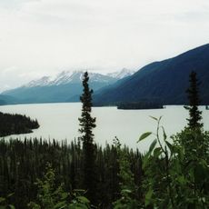
Muncho Lake Provincial Park
39 km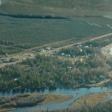
Trout Lake, Northwest Territories
263.8 km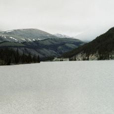
Stone Mountain Provincial Park
87.7 km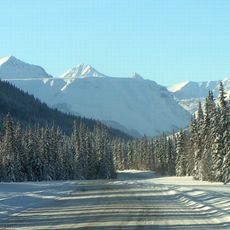
Mount Ulysses
230.2 km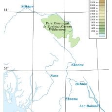
Spatsizi Plateau Wilderness Provincial Park
277.6 km
Chinchaga Wildland Provincial Park
418.3 km
Tencho Glacier
357.4 km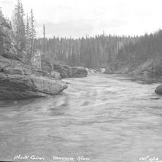
Omineca River
386.1 km
Redknife Formation
375.4 km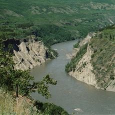
Stikine River Provincial Park
259 km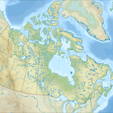
Todagin South Slope Provincial Park
323.6 km
Redfern-Keily Provincial Park
224 km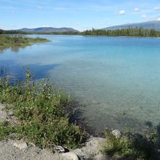
Tā Ch’ilā Provincial Park
210.2 km
Isspah Butte
350.9 km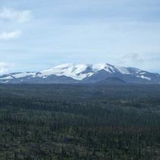
Mount Edziza Provincial Park and Recreation Area
362.2 km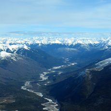
Akie River
222.4 kmBeoordelingen
Heeft u deze plek bezocht? Tik op de sterren om een beoordeling te geven en uw ervaring of foto's te delen met de community! Probeer het nu! U kunt het op elk moment annuleren.
Ontdek verborgen schatten op elk avontuur!
Van karakteristieke kleine cafeetjes tot geheime uitzichtpunten – ontvlucht de drukte en vind plekken die echt bij jou passen. Onze app maakt het makkelijk: spraakzoekopdrachten, slimme filters, geoptimaliseerde routes en authentieke tips van reizigers wereldwijd. Download nu en beleef het avontuur op je smartphone!

Een nieuwe benadering van toeristische ontdekking❞
— Le Figaro
Alle plekken die de moeite waard zijn om te ontdekken❞
— France Info
Een uitstapje op maat in slechts een paar klikken❞
— 20 Minutes