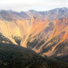
Garnier Bluff, berg in Canada
Locatie: British Columbia
GPS-coördinaten: 53.12679,-128.55768
Laatste update: 15 maart 2025 om 05:38
Tweedsmuir South Provincial Park
155 km
Kitlope Heritage Conservancy
63.3 km
Sir Alexander Mackenzie Provincial Park
110.7 km
Kitselas Canyon
164.2 km
Lakelse Lake Provincial Park
139.9 km
Atna River Provincial Park
103.7 km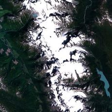
Howson Peak
153.4 km
Gardner Canal
52.7 km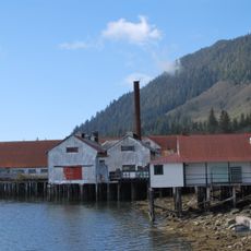
North Pacific Cannery National Historic Site
161.9 km
Milbanke Sound Group
87.1 km
Prudhomme Lake Provincial Park
161.7 km
Diana Lake Provincial Park
162 km
Lax Kul Nii Luutiksm/Bonilla Conservancy
142.2 km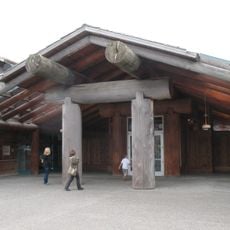
Museum of Northern British Columbia
176.3 km
Foch-Gilttoyees Provincial Park
92 km
Kitasoo Spirit Bear Conservancy
36.1 km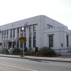
Prince Rupert City Hall
176 km
Boat Bluff lighthouse
53.9 km
Mussel Inlet
38.9 km
Lowe Inlet Marine Provincial Park
83.5 km
Owyacumish River Provincial Park
45.8 km
Addenbroke Island light station
176 km
Dryad Point Lighthouse
109.1 km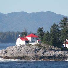
Ivory Island Lightstation
95.9 km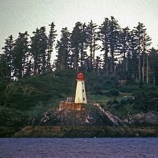
Lucy Islands light
187.6 km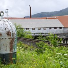
North Pacific Cannery National Historic Site
161.8 km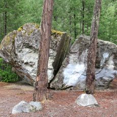
Big Rock
190.6 km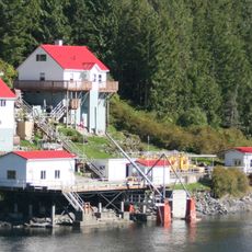
Boat Bluff
52.5 kmBeoordelingen
Heeft u deze plek bezocht? Tik op de sterren om een beoordeling te geven en uw ervaring of foto's te delen met de community! Probeer het nu! U kunt het op elk moment annuleren.
Ontdek verborgen schatten op elk avontuur!
Van karakteristieke kleine cafeetjes tot geheime uitzichtpunten – ontvlucht de drukte en vind plekken die echt bij jou passen. Onze app maakt het makkelijk: spraakzoekopdrachten, slimme filters, geoptimaliseerde routes en authentieke tips van reizigers wereldwijd. Download nu en beleef het avontuur op je smartphone!

Een nieuwe benadering van toeristische ontdekking❞
— Le Figaro
Alle plekken die de moeite waard zijn om te ontdekken❞
— France Info
Een uitstapje op maat in slechts een paar klikken❞
— 20 Minutes