
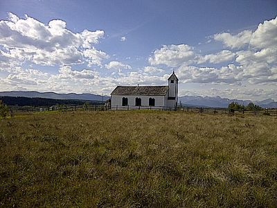
McDougall Memorial United Church, kerkgebouw in Canada
Locatie: Municipal District of Bighorn No. 8
Ontstaan: 1875
GPS-coördinaten: 51.18722,-114.82500
Laatste update: 12 maart 2025 om 09:59

Calaway Park
34.5 km
Ghost Lake
4.7 km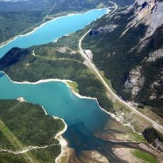
Barrier Lake
24.5 km
Cardium Formation
12.9 km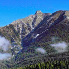
Anû Kathâ Îpa (Bald Eagle Peak)
36.2 km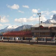
Canmore Nordic Centre Provincial Park
40.8 km
Big Hill Springs Provincial Park
31.4 km
Bow Valley Provincial Park
21.1 km
Bowness Park
43.6 km
Mount Kidd
41.5 km
Glenbow Ranch Provincial Park
30.2 km
Bragg Creek Provincial Park
32.4 km
Vortex
34.4 km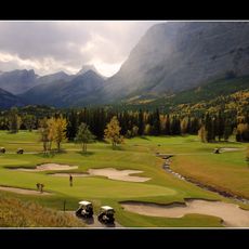
Kananaskis Country Golf Course
38.7 km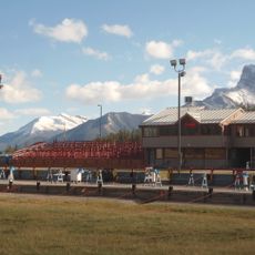
Canmore Nordic Centre
40.6 km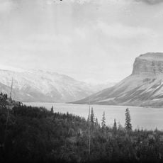
Palliser Formation
32.7 km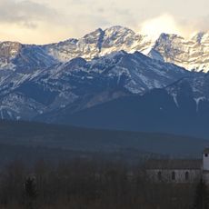
Skogan Peak
30.4 km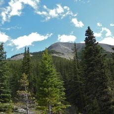
Midnight Peak
27.4 km
Ralph Connor Memorial United Church
38.7 km
Bow Valley Wildland Provincial Park
34.7 km
Whitemans Pond
43.1 km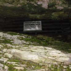
Rat's Nest Cave
33.3 km
Canmore North West Mounted Police Barracks
38.7 km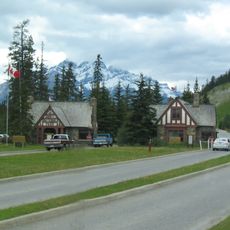
East Gate Registration Buildings, Building 3
41 km
East Gate Registration Buildings, Building 2
41 km
East Gate Registration Buildings, Building 1
41 km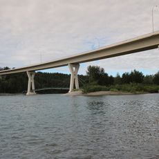
Stoney Trail Bow River Bridge
42.6 km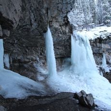
Troll Falls
34.8 kmHeeft u deze plek bezocht? Tik op de sterren om een beoordeling te geven en uw ervaring of foto's te delen met de community! Probeer het nu! U kunt het op elk moment annuleren.
Ontdek verborgen schatten op elk avontuur!
Van karakteristieke kleine cafeetjes tot geheime uitzichtpunten – ontvlucht de drukte en vind plekken die echt bij jou passen. Onze app maakt het makkelijk: spraakzoekopdrachten, slimme filters, geoptimaliseerde routes en authentieke tips van reizigers wereldwijd. Download nu en beleef het avontuur op je smartphone!

Een nieuwe benadering van toeristische ontdekking❞
— Le Figaro
Alle plekken die de moeite waard zijn om te ontdekken❞
— France Info
Een uitstapje op maat in slechts een paar klikken❞
— 20 Minutes