
Mansons Landing Provincial Park, provincial park in British Columbia, Canada
Locatie: British Columbia
GPS-coördinaten: 50.06710,-124.98300
Laatste update: 5 april 2025 om 16:37

Golden Hinde
70.9 km
Strathcona Provincial Park
52.3 km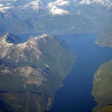
Jervis Inlet
73 km
Comox Glacier
63.5 km
Toba Inlet
51.9 km
Elk Falls Provincial Park
23.9 km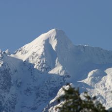
Mount Alfred
66.5 km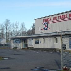
Comox Air Force Museum
39.6 km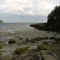
Tribune Bay Provincial Park
64.7 km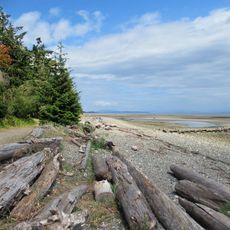
Miracle Beach Provincial Park
25.6 km
Deep Bay Marine Field Station
70.3 km
Strathcona-Westmin Provincial Park
69.3 km
Kitty Coleman Beach Provincial Park
31 km
Helliwell Provincial Park
67 km
Mitlenatch Island Nature Provincial Park
13.1 km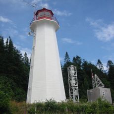
Cape Mudge Lighthouse
17 km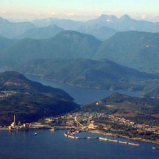
Powell River
44.3 km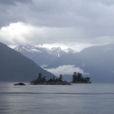
Desolation Sound Marine Provincial Park
21.6 km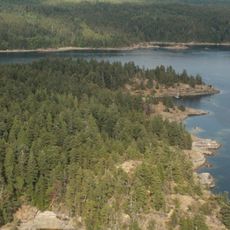
Copeland Islands Marine Provincial Park
13 km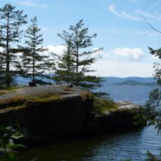
Saltery Bay Provincial Park
63.3 km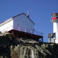
Chrome Island lighthouse
69.6 km
Elk Falls Suspension Bridge
24.9 km
Main Lake Provincial Park
23.1 km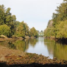
Courtenay River
42.4 km
Rebecca Spit Marine Provincial Park
14.8 km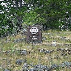
Octopus Islands Marine Provincial Park
29.4 km
Okeover Arm Provincial Park
21 km
The Park Golf Course & Restaurant & RV Park
40.7 kmBeoordelingen
Heeft u deze plek bezocht? Tik op de sterren om een beoordeling te geven en uw ervaring of foto's te delen met de community! Probeer het nu! U kunt het op elk moment annuleren.
Ontdek verborgen schatten op elk avontuur!
Van karakteristieke kleine cafeetjes tot geheime uitzichtpunten – ontvlucht de drukte en vind plekken die echt bij jou passen. Onze app maakt het makkelijk: spraakzoekopdrachten, slimme filters, geoptimaliseerde routes en authentieke tips van reizigers wereldwijd. Download nu en beleef het avontuur op je smartphone!

Een nieuwe benadering van toeristische ontdekking❞
— Le Figaro
Alle plekken die de moeite waard zijn om te ontdekken❞
— France Info
Een uitstapje op maat in slechts een paar klikken❞
— 20 Minutes