
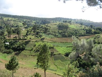
Fonds-Verrettes, gemeente in Ouest (Haïti)
Locatie: Croix-des-Bouquets Arrondissement
Hoogte boven de zeespiegel: 950 m
GPS-coördinaten: 18.38333,-71.85000
Laatste update: 23 maart 2025 om 18:18
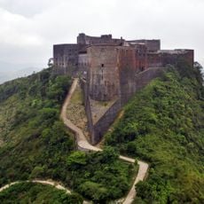
Citadel Laferrière
138.8 km
Pico Duarte
114.6 km
Presidentieel Paleis van Haïti
54.6 km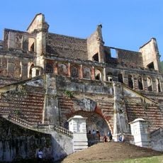
Sans-Souci paleis
141.4 km
Jaragua National Park
75.9 km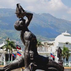
Le Marron Inconnu
54.6 km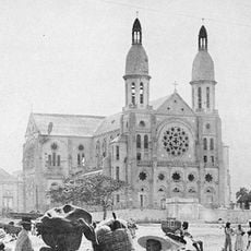
Kathedraal van Port-au-Prince
54.8 km
José Armando Bermúdez National Park
108.7 km
Pic la Selle
13.6 km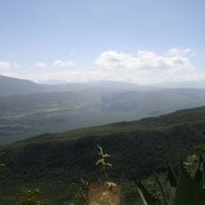
Sierra de Bahoruco National Park
44.6 km
Haitian National Pantheon Museum
54.4 km
Royal Chapel of Milot
141.5 km
Péligre Dam
60.9 km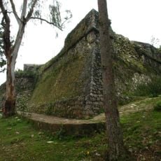
Fort Jacques
45.6 km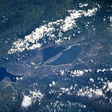
Nationalpark Lago Enriqillo e Isla Cabritos
24.8 km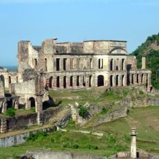
Nationaal historisch park Citadel, Sans-Souci, Ramiers
138.8 km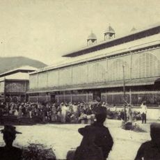
Marché en Fer
55.3 km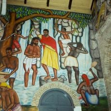
Holy Trinity Cathedral, Port-au-Prince
54.7 km
Port-au-Prince Haiti Temple
47 km
Péligre
60.5 km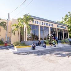
National Library of Haiti
55.1 km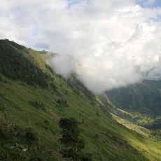
Nationaal park La Visite
15.2 km
Al Fatiha Mosque
54 km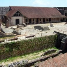
Ramiers
138.8 km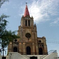
Co-Cathedral of St. John the BaptistMiragoâne
131.1 km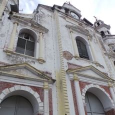
Jacmel Cathedral of Saint-Jacques-et-Saint-Philippe
74.3 km
Pointe du Lamentin Lighthouse
62.1 km
Pointe Fantasque Lighthouse
108.3 kmHeeft u deze plek bezocht? Tik op de sterren om een beoordeling te geven en uw ervaring of foto's te delen met de community! Probeer het nu! U kunt het op elk moment annuleren.
Ontdek verborgen schatten op elk avontuur!
Van karakteristieke kleine cafeetjes tot geheime uitzichtpunten – ontvlucht de drukte en vind plekken die echt bij jou passen. Onze app maakt het makkelijk: spraakzoekopdrachten, slimme filters, geoptimaliseerde routes en authentieke tips van reizigers wereldwijd. Download nu en beleef het avontuur op je smartphone!

Een nieuwe benadering van toeristische ontdekking❞
— Le Figaro
Alle plekken die de moeite waard zijn om te ontdekken❞
— France Info
Een uitstapje op maat in slechts een paar klikken❞
— 20 Minutes