
Susacón, gemeente in Colombia
Locatie: Northern Boyacá Province
Locatie: Boyacá Department
Ontstaan: 18 december 1809
Hoogte boven de zeespiegel: 2.485 m
Website: http://susacon-boyaca.gov.co
GPS-coördinaten: 6.22944,-72.69111
Laatste update: 15 oktober 2025 om 04:01
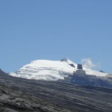
Sierra Nevada del Cocuy
50.5 km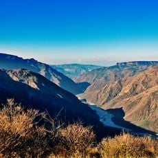
Chicamocha Canyon
74.2 km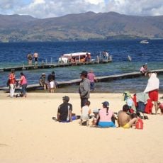
Playa Blanca
85.5 km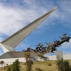
Vargas Swamp Lancers
69.3 km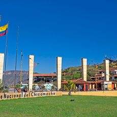
Chicamocha National Park
71.3 km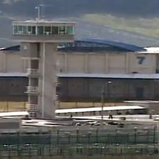
Cárcel de Cómbita
88.5 km
Pisba National Natural Park
40.1 km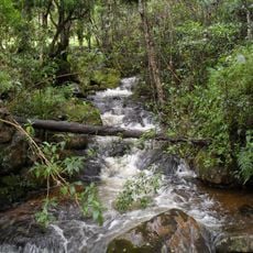
Iguaque Fauna and Flora Sanctuary
102.2 km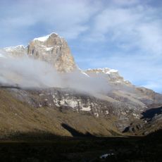
Ritacuba Blanco
52.7 km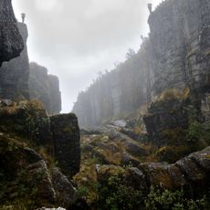
Ocetá Páramo
58.9 km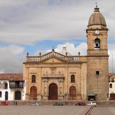
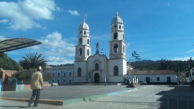
Cathedral Basilica of St. James the Apostle, Tunja
107.3 km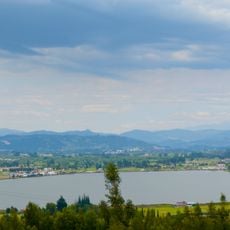
Sochagota Lake
69.8 km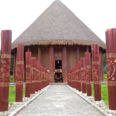
Sun Temple
63.4 km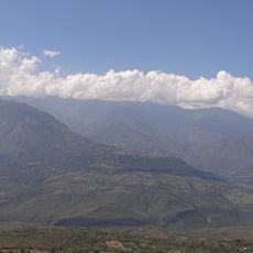
Yariguíes National Park
89.5 km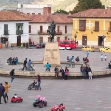
Plaza de Bolívar (Tunja)
107.4 km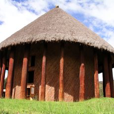
Archaeology Museum
63.4 km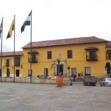
Casa del Fundador Gonzalo Suárez Rendón
107.7 km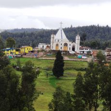
Morcá
61.6 km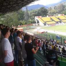
Estadio Álvaro Gómez Hurtado
101.2 km
Embalse de La Copa
88.4 km
Iglesia de Santo Domingo (Tunja)
107.6 km
El Cocuy National Park
70 km
St. Lawrence Cathedral, Duitama
58.6 km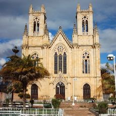
Iglesia de Firavitoba
70.7 km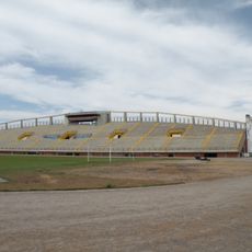
Santiago de las Atalayas Stadium
102.7 km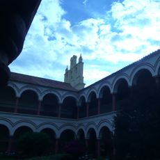
Claustro de San Agustín (Tunja)
107.6 km
Iglesia de las Nieves (Tunja)
107.6 km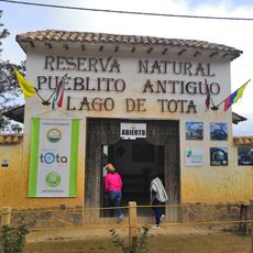
Natural Reserve "Old Pueblito"
77.9 kmBeoordelingen
Heeft u deze plek bezocht? Tik op de sterren om een beoordeling te geven en uw ervaring of foto's te delen met de community! Probeer het nu! U kunt het op elk moment annuleren.
Ontdek verborgen schatten op elk avontuur!
Van karakteristieke kleine cafeetjes tot geheime uitzichtpunten – ontvlucht de drukte en vind plekken die echt bij jou passen. Onze app maakt het makkelijk: spraakzoekopdrachten, slimme filters, geoptimaliseerde routes en authentieke tips van reizigers wereldwijd. Download nu en beleef het avontuur op je smartphone!

Een nieuwe benadering van toeristische ontdekking❞
— Le Figaro
Alle plekken die de moeite waard zijn om te ontdekken❞
— France Info
Een uitstapje op maat in slechts een paar klikken❞
— 20 Minutes