
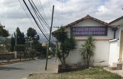
San José de Ayora, rural parish in Ecuador
Locatie: Cayambe Canton
Grenst aan: Imbabura Province, Pedro Moncayo Canton
GPS-coördinaten: 0.07036,-78.13470
Laatste update: 7 maart 2025 om 05:10
Ciudad Mitad del Mundo
36.7 km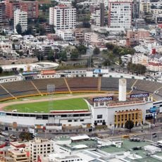
Estadio Olímpico Atahualpa
47 km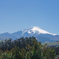
Cayambe
17 km
Pululahua Geobotanical Reserve
36.7 km
Cayambe Coca National Park
37.3 km
Cuicocha
36.1 km
La Capilla del Hombre
47.3 km
Imbabura Volcano
21.1 km
Sincholagua Volcano
37 km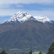
Cotacachi Volcano
40.1 km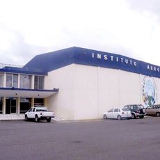
Colegio Técnico Experimental de Aviación Civil
45 km
Cultural Complex Fabrica Imbabura
29.4 km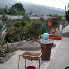
Museo Solar Intiñán
36.5 km
Torre Urban Plaza
41.5 km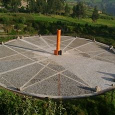
Quitsato Sundial
9 km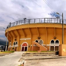
Plaza de toros de Quito
46.8 km
Imbabura UNESCO Global Geopark
29.8 km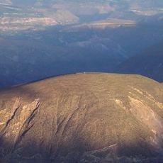
Catequilla
33.7 km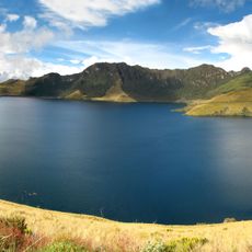
Mojanda
14 km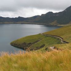
Lagunas de mojanda
16.4 km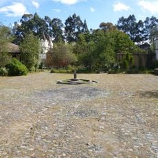
Hacienda Guachalá
13 km
Intiñan Equator Museum
36.5 km
Maquipucuna
25.2 km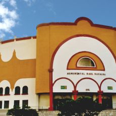
Plaza de toros Raúl Dávalos de la Calle
46.8 km
Fundación Guayasamín
47.2 km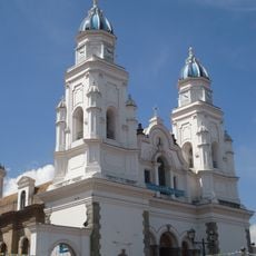
Basílica El Quinche
27 km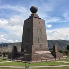
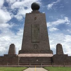
Monumento a la Mitad del Mundo
36.6 km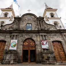
Cathedral of Ibarra
31.4 kmBeoordelingen
Heeft u deze plek bezocht? Tik op de sterren om een beoordeling te geven en uw ervaring of foto's te delen met de community! Probeer het nu! U kunt het op elk moment annuleren.
Ontdek verborgen schatten op elk avontuur!
Van karakteristieke kleine cafeetjes tot geheime uitzichtpunten – ontvlucht de drukte en vind plekken die echt bij jou passen. Onze app maakt het makkelijk: spraakzoekopdrachten, slimme filters, geoptimaliseerde routes en authentieke tips van reizigers wereldwijd. Download nu en beleef het avontuur op je smartphone!

Een nieuwe benadering van toeristische ontdekking❞
— Le Figaro
Alle plekken die de moeite waard zijn om te ontdekken❞
— France Info
Een uitstapje op maat in slechts een paar klikken❞
— 20 Minutes