
Billinudgel, parish of Rous County, New South Wales, Australia
Locatie: Rous
Locatie: Tweed Shire
GPS-coördinaten: -28.51500,153.50111
Laatste update: 7 april 2025 om 03:18
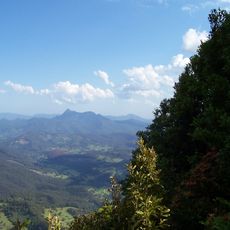
Mount Warning
26.1 km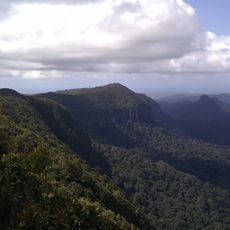
Springbrook National Park
47.3 km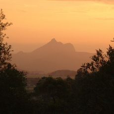
Tweed Volcano
26.5 km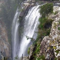
Minyon Falls
15.4 km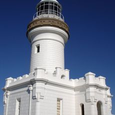
Cape Byron Light
19.1 km
Nightcap National Park
18.3 km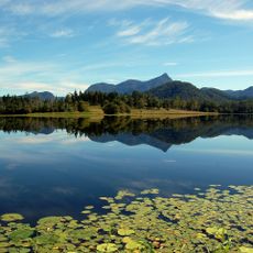
Clarrie Hall Dam
21 km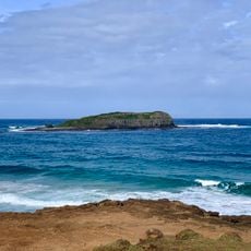
Cook Island Aquatic Reserve
36.3 km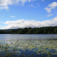
Rocky Creek Dam
19.6 km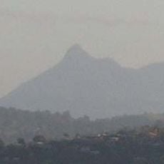
Nationaal park Wollumbin
26.7 km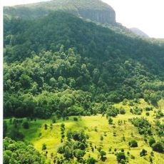
Numinbah Nature Reserve
37.4 km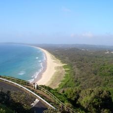
Arakwal National Park
20 km
Mount Jerusalem National Park
12.8 km
Nicoll Scrub National Park
37.2 km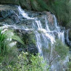
Goomoolahra Falls
38.8 km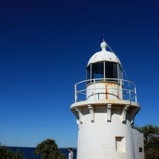
Fingal Head Light
35.7 km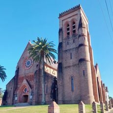
St Carthage's Cathedral
38.6 km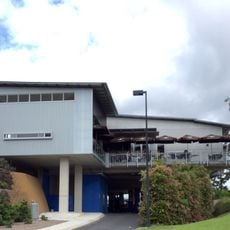
Tweed River Art Gallery
21 km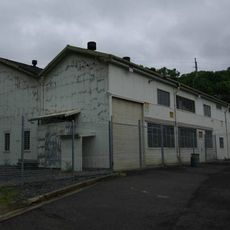
Mullumbimby Hydro-electric Power Station Complex
8.3 km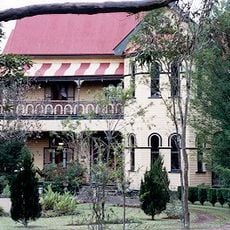
Tulloona
37.9 km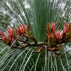
Brunswick Valley Heritage Park
3.7 km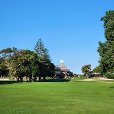
Coolangatta & Tweed Heads Golf Club
35 km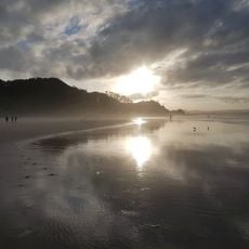
Wategos Beach
18.4 km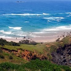
Little Wategos Beach
18.8 km
Tallow Beach
20.8 km
Bangalow Heritage House Museum
19.3 km
Fingal Head Beach
36.3 km
Belongil Beach
12.6 kmBeoordelingen
Heeft u deze plek bezocht? Tik op de sterren om een beoordeling te geven en uw ervaring of foto's te delen met de community! Probeer het nu! U kunt het op elk moment annuleren.
Ontdek verborgen schatten op elk avontuur!
Van karakteristieke kleine cafeetjes tot geheime uitzichtpunten – ontvlucht de drukte en vind plekken die echt bij jou passen. Onze app maakt het makkelijk: spraakzoekopdrachten, slimme filters, geoptimaliseerde routes en authentieke tips van reizigers wereldwijd. Download nu en beleef het avontuur op je smartphone!

Een nieuwe benadering van toeristische ontdekking❞
— Le Figaro
Alle plekken die de moeite waard zijn om te ontdekken❞
— France Info
Een uitstapje op maat in slechts een paar klikken❞
— 20 Minutes