
Cachoeira Urumutum, Wasserfall in Brasilien
Locatie: Brazil
Hoogte boven de zeespiegel: 82 m
GPS-coördinaten: -1.00139,-69.43778
Laatste update: 6 april 2025 om 09:11

Pico da Neblina
431.1 km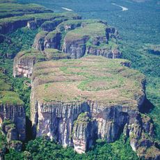
Chiribiquete National Park
420 km
Amacayacu National Park
289 km
The Hub on Causeway
416.1 km
Piedra del Cocuy
383.4 km
Pico da Neblina National Park
415.7 km
Pico 31 de Março
431.6 km
Puente Nanay
519.8 km
Serranía La Neblina National Park
436.2 km
Piedra del Cocuy Natural Monument
383.4 km
Chiribiquete's rock shelters
451.7 km
Centro histórico de Iquitos
520.5 km
Santa Rosa Island
363.7 km
Mamirauá Sustainable Development Reserve
441 km
Casa Morey
521.9 km
Bellavista-Nanay
519.7 km
Morro dos Seis Lagos Biological Reserve
339.1 km
BAP América
520.7 km
Central Amazon Ecological Corridor
309.3 km
Forte de São José de Marabitanas
370.7 km
Cué-cué/Marabitanas Indigenous Territory
350.5 km
Iglesia de la Inmaculada Concepción
520.9 km
Chineria Island
360.9 km
Natural Reserve Palmari
378 km
Auatí-Paraná Extractive Reserve
343.2 km
French Alliance of Iquitos
521.8 km
Parroquia de Santa Rosa de Lima (Mazán)
492.4 km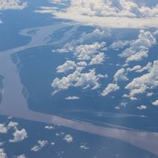
Ilha Aramacá
374.7 kmBeoordelingen
Heeft u deze plek bezocht? Tik op de sterren om een beoordeling te geven en uw ervaring of foto's te delen met de community! Probeer het nu! U kunt het op elk moment annuleren.
Ontdek verborgen schatten op elk avontuur!
Van karakteristieke kleine cafeetjes tot geheime uitzichtpunten – ontvlucht de drukte en vind plekken die echt bij jou passen. Onze app maakt het makkelijk: spraakzoekopdrachten, slimme filters, geoptimaliseerde routes en authentieke tips van reizigers wereldwijd. Download nu en beleef het avontuur op je smartphone!

Een nieuwe benadering van toeristische ontdekking❞
— Le Figaro
Alle plekken die de moeite waard zijn om te ontdekken❞
— France Info
Een uitstapje op maat in slechts een paar klikken❞
— 20 Minutes