
Puerto Alegría, municipality in Amazonas, Colombia
Locatie: Amazonas Department
Hoogte boven de zeespiegel: 120 m
GPS-coördinaten: -1.00556,-74.01500
Laatste update: 12 maart 2025 om 23:22

Nationaal park Yasuni
233.5 km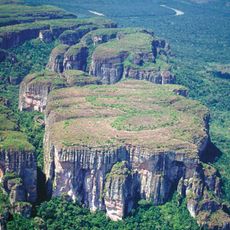
Chiribiquete National Park
232.8 km
Cuyabeno Wildlife Reserve
225.3 km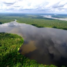
Limoncocha National Biological Reserve
295.5 km
Casa de Fierro
317.3 km
Puente Nanay
311.1 km
Complejo Turistico de Quistococha
323.7 km
Chiribiquete's rock shelters
294.8 km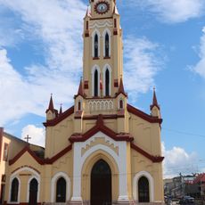
Cathedral of Iquitos
317.2 km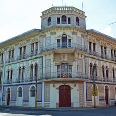
Ex Hotel Palace
317.4 km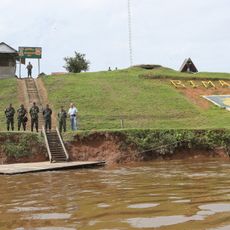
Güeppi
169 km
Centro histórico de Iquitos
315.3 km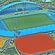
Estadio Max Augustín
316.4 km
Tiputini Biodiversity Station
241.1 km
Casa Morey
317 km
Bellavista-Nanay
312.2 km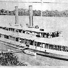
BAP América
315.6 km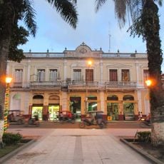
Casa Pinasco
317.3 km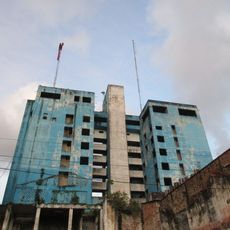
Antiguos Edificios del Seguro Social de Salud del Perú
317.2 km
Pampachica beach
316.4 km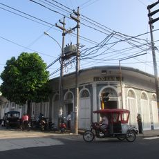
Casa Cohen
317.5 km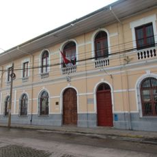
Museo Amazónico
317.5 km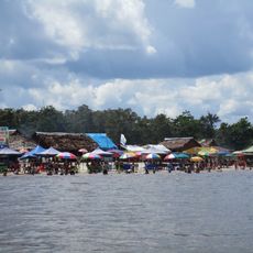
Playa de Tipishca
317.4 km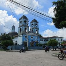
Iglesia de la Inmaculada Concepción
315.1 km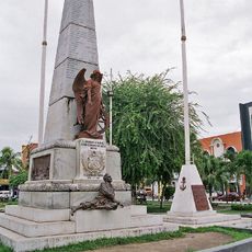
Obelisco de los Héroes
317.2 km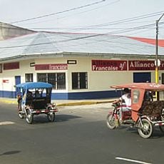
French Alliance of Iquitos
316.8 km
Parroquia de Santa Rosa de Lima (Mazán)
296.2 km
Rio Nanay, Iquitos
310.9 kmHeeft u deze plek bezocht? Tik op de sterren om een beoordeling te geven en uw ervaring of foto's te delen met de community! Probeer het nu! U kunt het op elk moment annuleren.
Ontdek verborgen schatten op elk avontuur!
Van karakteristieke kleine cafeetjes tot geheime uitzichtpunten – ontvlucht de drukte en vind plekken die echt bij jou passen. Onze app maakt het makkelijk: spraakzoekopdrachten, slimme filters, geoptimaliseerde routes en authentieke tips van reizigers wereldwijd. Download nu en beleef het avontuur op je smartphone!

Een nieuwe benadering van toeristische ontdekking❞
— Le Figaro
Alle plekken die de moeite waard zijn om te ontdekken❞
— France Info
Een uitstapje op maat in slechts een paar klikken❞
— 20 Minutes