
Saraguro, nederzetting in Ecuador
Locatie: Saraguro Canton
Hoogte boven de zeespiegel: 2.508 m
GPS-coördinaten: -3.62139,-79.24028
Laatste update: 23 maart 2025 om 18:15

Nationaal park Cajas
86.3 km
Podocarpus National Park
78.4 km
New Cathedral of Cuenca
84.7 km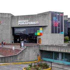
Pumapungo-museum
84.1 km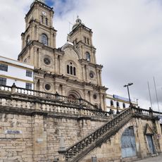
Shrine of the Virgin of the Cloud
107.4 km
Historisch centrum van Cuenca
84.7 km
Arenillas Ecological Reserve
101.2 km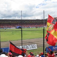
Estadio Alejandro Serrano Aguilar
83.7 km
Basilica of El Cisne
32.9 km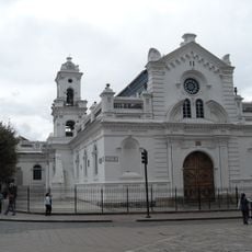
Old Cathedral of Cuenca
84.7 km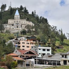
Sanctuary of the Blessed Virgin of Rocio
108.1 km
Cathedral of Loja-Parroquia El Sagrario
42 km
Paquisha
71.7 km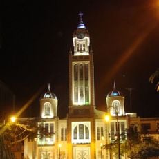
Our Lady of Mercy Cathedral, Machala
89.6 km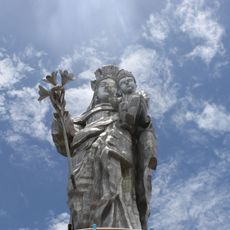
Our Lady of the Cloud Monument
110.1 km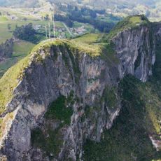
Cerro Cojitambo
103.5 km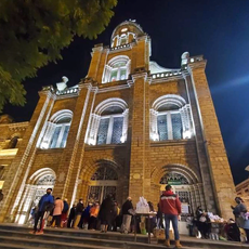
Cathedral of Azogues
107.6 km
Jardín botánico Reinaldo Espinosa
76.2 km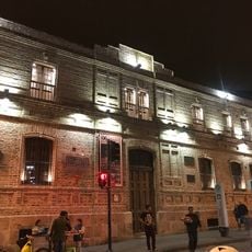
Museum Remigio Crespo Toral
84.2 km
Cerro de Arcos
25.3 km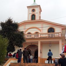
Santuario Católico del Señor de los Milagros de Andacocha
109 km
Santuario Diocesano Católico del Señor de Burgos de Borma
95.1 km
Museo Municipal de Arte Moderno
84.6 km
Tren Crucero
39.3 km
Museum of Aboriginal Cultures
84.3 km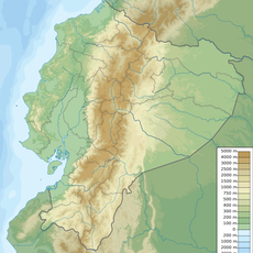
Balao Grande River
106.8 km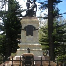
Monument to Abdón Calderón
84.8 km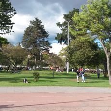
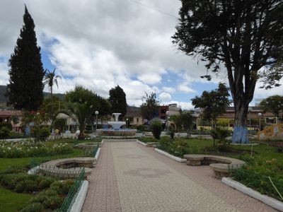
Parque de la Madre
84.1 kmBeoordelingen
Heeft u deze plek bezocht? Tik op de sterren om een beoordeling te geven en uw ervaring of foto's te delen met de community! Probeer het nu! U kunt het op elk moment annuleren.
Ontdek verborgen schatten op elk avontuur!
Van karakteristieke kleine cafeetjes tot geheime uitzichtpunten – ontvlucht de drukte en vind plekken die echt bij jou passen. Onze app maakt het makkelijk: spraakzoekopdrachten, slimme filters, geoptimaliseerde routes en authentieke tips van reizigers wereldwijd. Download nu en beleef het avontuur op je smartphone!

Een nieuwe benadering van toeristische ontdekking❞
— Le Figaro
Alle plekken die de moeite waard zijn om te ontdekken❞
— France Info
Een uitstapje op maat in slechts een paar klikken❞
— 20 Minutes