
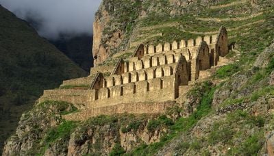
Ollantaytambo District, district in Cusco, Peru
Locatie: Urubamba Province
Hoofdstad: Ollantaytambo
Hoogte boven de zeespiegel: 2.848 m
Grenst aan: Ocobamba District, Lares District, Urubamba District, Maras District, Huarocondo District, Limatambo District, Machupicchu District, Huayopata District
Website: http://muniollantaytambo.gob.pe
GPS-coördinaten: -13.25739,-72.26313
Laatste update: 2 maart 2025 om 21:17
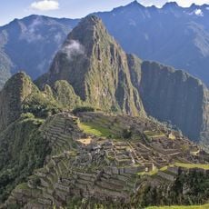
Machu Picchu
32.4 km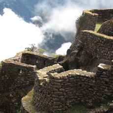
Inca Trail
82 m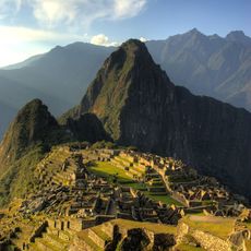
Historisch heiligdom Machu Picchu
38.1 km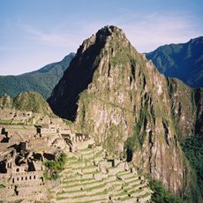
Huayna Picchu
32.6 km
Moray
10.8 km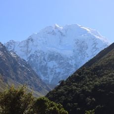
Salcantay
31.9 km
Temple of the Moon
32.9 km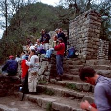
Intipuncu
30.9 km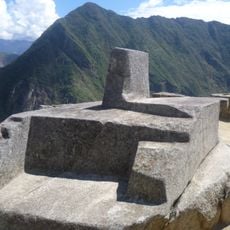
Intihuatana, Urubamba
32.4 km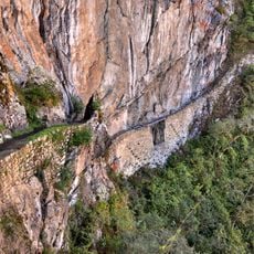
Inca Bridge
31.9 km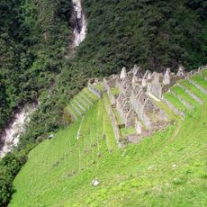
Wiñay Wayna
30.5 km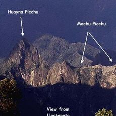
Llaqtapata
36.2 km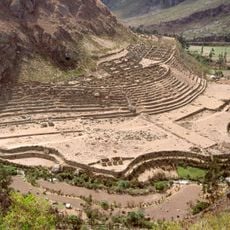
Llactapata
17.8 km
Willka Wiqi
12.4 km
Puyupatamarca
29.6 km
Runkuraqay
26 km
Sayacmarca
27.7 km
Choquequilla
5 km
Cusichaca River
18.4 km
Pumawank'a
15.5 km
Kiswar (Peru)
17.7 km
Huarocondo River
5.1 km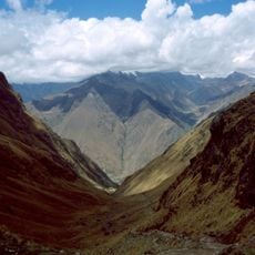
Mount Wayanay
14.9 km
Hatun Q'asa
32.5 km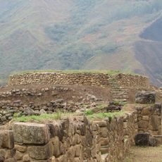
Lucumayo River
48.3 km
Volcán Lares
15 km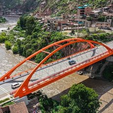
Puente Urubamba-Cusco
17.6 km
Heeft u deze plek bezocht? Tik op de sterren om een beoordeling te geven en uw ervaring of foto's te delen met de community! Probeer het nu! U kunt het op elk moment annuleren.
Ontdek verborgen schatten op elk avontuur!
Van karakteristieke kleine cafeetjes tot geheime uitzichtpunten – ontvlucht de drukte en vind plekken die echt bij jou passen. Onze app maakt het makkelijk: spraakzoekopdrachten, slimme filters, geoptimaliseerde routes en authentieke tips van reizigers wereldwijd. Download nu en beleef het avontuur op je smartphone!

Een nieuwe benadering van toeristische ontdekking❞
— Le Figaro
Alle plekken die de moeite waard zijn om te ontdekken❞
— France Info
Een uitstapje op maat in slechts een paar klikken❞
— 20 Minutes