
Sullivan's Island Historic District
Sullivan's Island Historic District, historic district in South Carolina, United States
Locatie: Sullivan's Island
GPS-coördinaten: 32.75920,-79.84580
Laatste update: 15 maart 2025 om 15:15
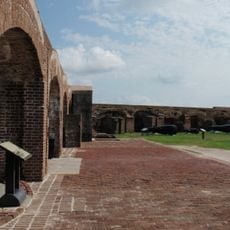
Fort Sumter
2.8 km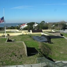
Fort Moultrie
1.1 km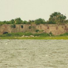
Castle Pinckney
6.3 km
Sinking of USS Housatonic
5.9 km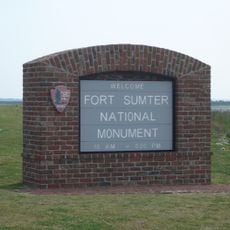
Fort Sumter and Fort Moultrie National Historical Park
1.3 km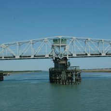
Ben Sawyer Bridge
1.6 km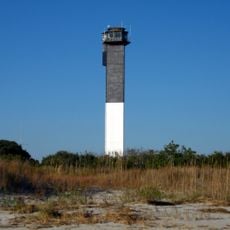
Charleston Light
278 m
Fort Johnson
5 km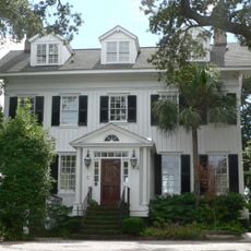
Mount Pleasant Historic District
4.1 km
Battery Thomson
440 m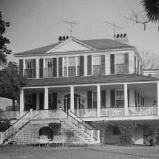
Marshlands Plantation House
5.2 km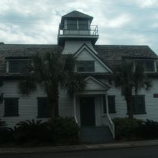
U.S. Coast Guard Historic District
362 m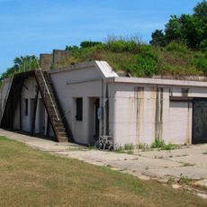
Battery Gadsden
578 m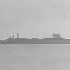
Fort Sumter Range Lights
2.8 km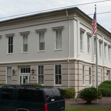
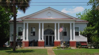
Old Berkeley County Courthouse
3.3 km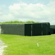
Battery Jasper
876 m
Moultrieville Historic District
1.3 km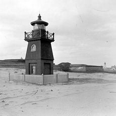
Sullivan's Island Range Lights
681 m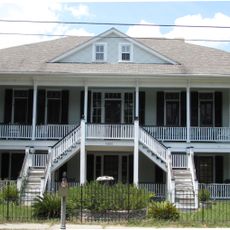
Dr. John B. Patrick House
241 m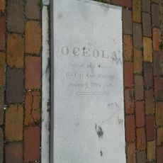
Osceola's tomb
1.1 km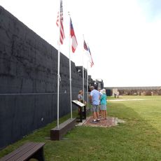
Battery Huger
2.8 km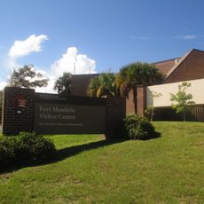
Fort Moultrie Visitor Center
1.1 km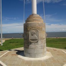
Flagpole Monument
2.8 km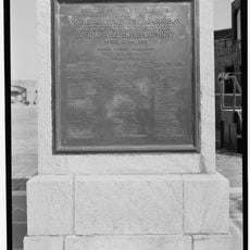
Garrison Monument
2.8 km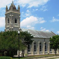
Stella Maris Catholic Church
1.2 km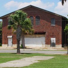
Fort Moultrie Quartermaster and Support Facilities Historic District
615 m
1809 Powder Magazine
1.2 km
Patapsco Monument
1.1 kmBeoordelingen
Heeft u deze plek bezocht? Tik op de sterren om een beoordeling te geven en uw ervaring of foto's te delen met de community! Probeer het nu! U kunt het op elk moment annuleren.
Ontdek verborgen schatten op elk avontuur!
Van karakteristieke kleine cafeetjes tot geheime uitzichtpunten – ontvlucht de drukte en vind plekken die echt bij jou passen. Onze app maakt het makkelijk: spraakzoekopdrachten, slimme filters, geoptimaliseerde routes en authentieke tips van reizigers wereldwijd. Download nu en beleef het avontuur op je smartphone!

Een nieuwe benadering van toeristische ontdekking❞
— Le Figaro
Alle plekken die de moeite waard zijn om te ontdekken❞
— France Info
Een uitstapje op maat in slechts een paar klikken❞
— 20 Minutes