
Dub letní u ul. Hormistrů, memorable tree in Ostrava-město District, Czech Republic
Locatie: Ostrava
Hoogte: 23 m
GPS-coördinaten: 49.82480,18.32720
Laatste update: 8 mei 2025 om 03:18

Ostrava Zoo
2.2 km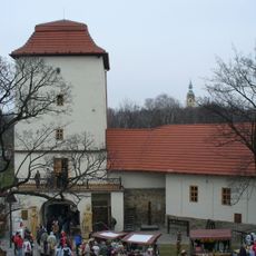
Silesian Ostrava Castle
2 km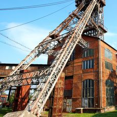
Michal Mine
2.4 km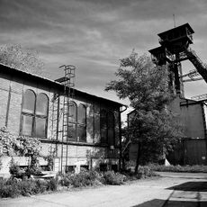
Důl Petr Bezruč
2.4 km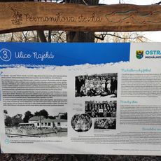
Permoníkova naučná stezka
2.3 km
Hussite church Ostrava-Michálkovice
2.1 km
Church of Saint Joseph
1.8 km
Koupark
981 m
Důl Trojice
2.1 km
Church of the Assumption (Michálkovice)
2.1 km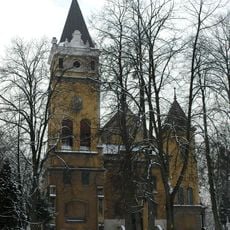
Church of the Immaculate Conception
510 m
Jan Maria Mine
431 m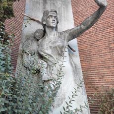
Zabraňte válkám
2.3 km
Statues Slavic Gods
2.5 km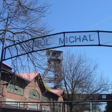
Industria muzeo (Ostrava)
2.3 km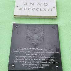
Keltička's Smithy Museum
2.5 km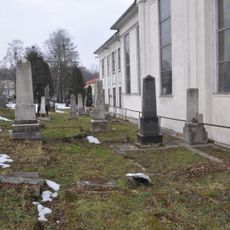
Jewish cemetery in Michalkovice
2.1 km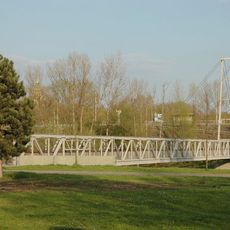
Hradní lávka
2.3 km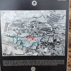
Educational trail Halda Petr Cingr
2 km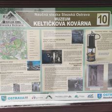
Educational trail Slezská Ostrava
2.1 km
Viewing platform in ZOO Ostrava
2.4 km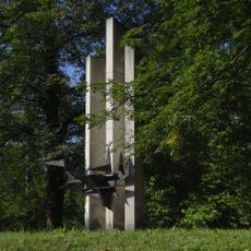
Pomník obětem hornické stávky roku 1894
2 km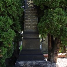
Hrob a pomník zastřelených havířů
1.8 km
Železniční most přes Těšínskou ulici
672 m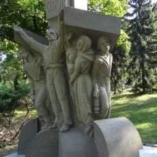
Náhrobek Petra Cingra
1.6 km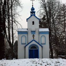
Church of the Nativity of the Virgin Mary
2.2 km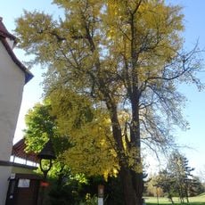
Jinan ve Slezské Ostravě
2 km
Havlíčkovo nábřeží
2.5 kmBeoordelingen
Heeft u deze plek bezocht? Tik op de sterren om een beoordeling te geven en uw ervaring of foto's te delen met de community! Probeer het nu! U kunt het op elk moment annuleren.
Ontdek verborgen schatten op elk avontuur!
Van karakteristieke kleine cafeetjes tot geheime uitzichtpunten – ontvlucht de drukte en vind plekken die echt bij jou passen. Onze app maakt het makkelijk: spraakzoekopdrachten, slimme filters, geoptimaliseerde routes en authentieke tips van reizigers wereldwijd. Download nu en beleef het avontuur op je smartphone!

Een nieuwe benadering van toeristische ontdekking❞
— Le Figaro
Alle plekken die de moeite waard zijn om te ontdekken❞
— France Info
Een uitstapje op maat in slechts een paar klikken❞
— 20 Minutes