Yorkton History Flour Mill Tours
Locatie: Yorkton
Exploitant: City of Yorkton
GPS-coördinaten: 51.20765,-102.45502
Laatste update: 28 oktober 2025 om 11:30
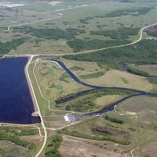
Shellmouth Reservoir
77.6 km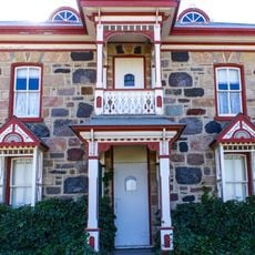
Motherwell Homestead
87.1 km
Asessippi Provincial Park
79.8 km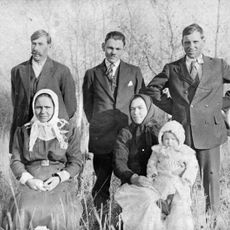
Rhein
24.3 km
Grayson
57.6 km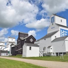
Inglis Grain Elevators National Historic Site
89.3 km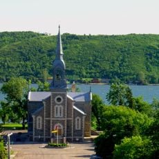
Lebret
100.8 km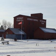
Esterhazy Flour Mill
67.4 km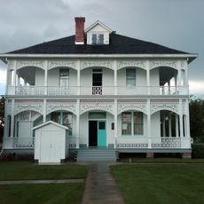
Doukhobors at Veregin
49 km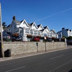
Spy Hill
84.9 km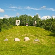
Fort Espérance
100.8 km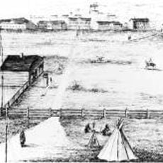
Fort Livingstone
84.2 km
Katepwa Point Provincial Park
103.5 km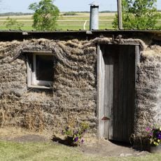
Broadview Historical Museum
92.6 km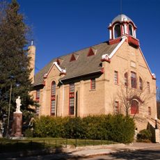
Wolseley Town Hall and Opera House
104.4 km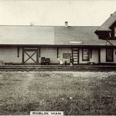
Roblin railway station
76.9 km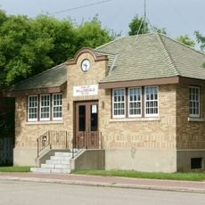
R.M. of Willowdale No. 153 Municipal Office
98.6 km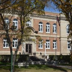
Yorkton Court House
1.1 km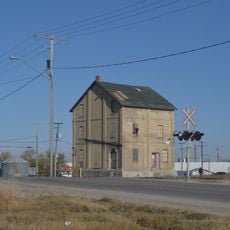
Yorkton Organic Milling Ltd.
13 m
Sacred Heart Roman Catholic Church
101.1 km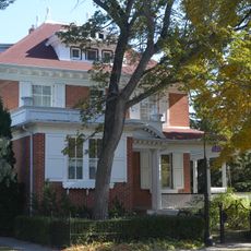
Henry Residence and Medical Office
1.1 km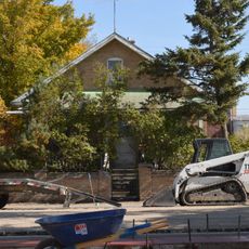
Doukhobor Residence
818 m
Swinging Bridge
104.2 km
Gerichtsgebäude Wolseley
104.2 km
Godfrey Dean Art Gallery
600 m
City Sundial
37 m
Saltcoats Monument
27.8 km
Kunstwerk
463 mBeoordelingen
Heeft u deze plek bezocht? Tik op de sterren om een beoordeling te geven en uw ervaring of foto's te delen met de community! Probeer het nu! U kunt het op elk moment annuleren.
Ontdek verborgen schatten op elk avontuur!
Van karakteristieke kleine cafeetjes tot geheime uitzichtpunten – ontvlucht de drukte en vind plekken die echt bij jou passen. Onze app maakt het makkelijk: spraakzoekopdrachten, slimme filters, geoptimaliseerde routes en authentieke tips van reizigers wereldwijd. Download nu en beleef het avontuur op je smartphone!

Een nieuwe benadering van toeristische ontdekking❞
— Le Figaro
Alle plekken die de moeite waard zijn om te ontdekken❞
— France Info
Een uitstapje op maat in slechts een paar klikken❞
— 20 Minutes