
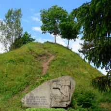
Panemuninkų piliakalnis
Locatie: Alytaus seniūnija
GPS-coördinaten: 54.51030,24.04739
Laatste update: 15 november 2025 om 11:29
Punia hillfort
2.8 km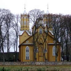
Church of St. Peter and St. Paul, Nemajūnai
5.8 km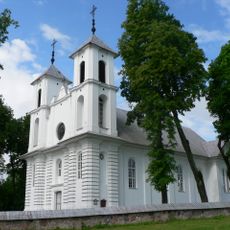
Church of St. James the Apostle, Punia
3.1 km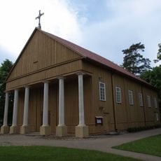
Church of the Holy Trinity, Rumbonys
4.9 km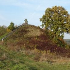
Rumbonys hillfort
4.2 km
Margaravos piliakalnis
4.2 km
Šaltinėnų piliakalnis
5.3 km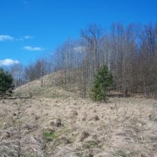
Nemajūnų piliakalnis
6.5 km
Szylany - Ostra Góra
6 km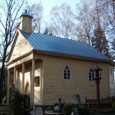
Nemajūnai
6 km
Chapel in Rumbonys
4.9 km
Natūraliai susiformavusi ąžuolų alėja
2.4 km
Sculptuur, kunstwerk
3.3 km
Pasakų takas
643 m
Punios kraštovaizdžio draustinis
2.6 km
Žaltės slėnis
3.5 km
Dainavos apygardos štabo bunkeris
2.3 km
Klebono akmuo
6.1 km
Punios šilo pažintinė trasa
497 m
Kunstwerk, sculptuur
3.2 km
Bundorių piliakalnis
1.5 km
Kunstwerk
2.4 km
Kunstwerk
2.4 km
Kunstwerk
2.2 km
Siponių atodanga
3.4 km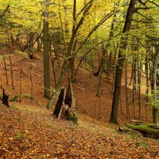
Panemuninkų skardis
646 m
Punios piliakalnio viršutinė aikštelė
2.9 km
Ąžuolų alėja
2.3 kmBeoordelingen
Heeft u deze plek bezocht? Tik op de sterren om een beoordeling te geven en uw ervaring of foto's te delen met de community! Probeer het nu! U kunt het op elk moment annuleren.
Ontdek verborgen schatten op elk avontuur!
Van karakteristieke kleine cafeetjes tot geheime uitzichtpunten – ontvlucht de drukte en vind plekken die echt bij jou passen. Onze app maakt het makkelijk: spraakzoekopdrachten, slimme filters, geoptimaliseerde routes en authentieke tips van reizigers wereldwijd. Download nu en beleef het avontuur op je smartphone!

Een nieuwe benadering van toeristische ontdekking❞
— Le Figaro
Alle plekken die de moeite waard zijn om te ontdekken❞
— France Info
Een uitstapje op maat in slechts een paar klikken❞
— 20 Minutes