
Milepost, Newport Road, E of West Way and W of Stafford town centre, milepost in Stafford, UK
Locatie: Stafford
Ontstaan: 19e eeuw
GPS-coördinaten: 52.79792,-2.13270
Laatste update: 11 maart 2025 om 19:17

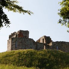
Stafford Castle
973 m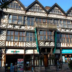
Ancient High House
1.4 km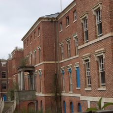
St George's Hospital
2 km
Church of St Mary
1.3 km
Shire Hall, Stafford
1.5 km
St Chad's Church, Stafford
1.3 km
Stafford Combined Court Centre
1.2 km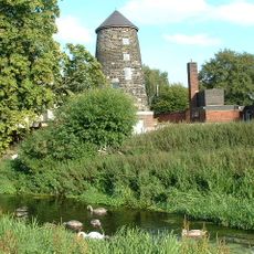
Broad Eye Windmill
1.2 km
Doxey Marshes
2 km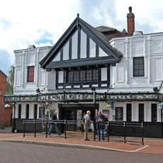
Picture House
1.3 km
St Austin's Church, Stafford
1.2 km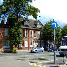
William Salt Library
1.6 km
County Buildings and Judges House
1.5 km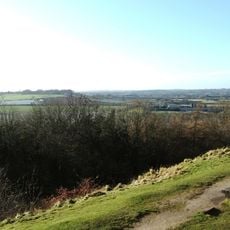
Berry Ring hillfort
2.7 km
Old Borough Library, Stafford
1.3 km
Borough Hall
1.5 km
Friars' Walk drill hall, Stafford
1.3 km
Church of St Paul
1.6 km
Church of St Mary
571 m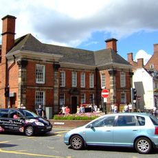
Post Office And Attached Railings And Gate
1.4 km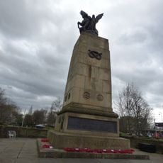
Staffordshire County War Memorial With Flanking Walls And Gates
1 km
The Bear Public House
1.4 km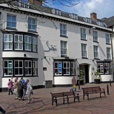
Swan Hotel
1.4 km
Stafford Borough War Memorial
1.2 km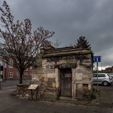
Forebridge Lock Up
1.4 km
Friends' Meeting House
1.7 km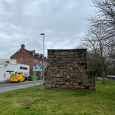
East Gate
1.7 km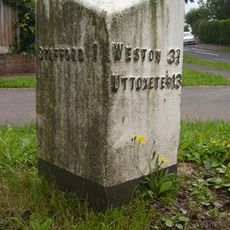
Milepost, Kingston Hill
2.8 kmHeeft u deze plek bezocht? Tik op de sterren om een beoordeling te geven en uw ervaring of foto's te delen met de community! Probeer het nu! U kunt het op elk moment annuleren.
Ontdek verborgen schatten op elk avontuur!
Van karakteristieke kleine cafeetjes tot geheime uitzichtpunten – ontvlucht de drukte en vind plekken die echt bij jou passen. Onze app maakt het makkelijk: spraakzoekopdrachten, slimme filters, geoptimaliseerde routes en authentieke tips van reizigers wereldwijd. Download nu en beleef het avontuur op je smartphone!

Een nieuwe benadering van toeristische ontdekking❞
— Le Figaro
Alle plekken die de moeite waard zijn om te ontdekken❞
— France Info
Een uitstapje op maat in slechts een paar klikken❞
— 20 Minutes