
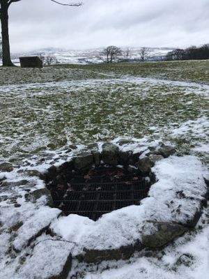
Bar Hill, Roman temporary camp SW of
Bar Hill, Roman temporary camp SW of, bouwwerk in East Dunbartonshire, Verenigd Koninkrijk
Locatie: East Dunbartonshire
Locatie: Kirkintilloch
GPS-coördinaten: 55.95739,-4.07299
Laatste update: 7 maart 2025 om 17:57
Muur van Antoninus
1.1 km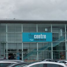
The Centre Cumbernauld
5.3 km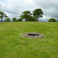
Bar Hill Fort
176 m
Colzium
3.6 km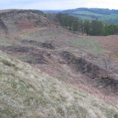
Croy Hill Roman fort
2.7 km
Guy's Meadow
5.5 km
Auchendavy Roman fort
3 km
Auld Aisle Cemetery
4.9 km
Cumbernauld College campus
5.4 km
Forth And Clyde Canal, Luggie Water Aqueduct
5.3 km
Market Chambers, Kilsyth
2.4 km
Kilsyth, Howe Street, Burial-ground
1.8 km
48–50 Market Street, Kilsyth
2.4 km
Kilsyth Parish Church
2.2 km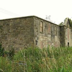
Kilsyth, Forth And Clyde Canal, Craigmarloch Stables
3.5 km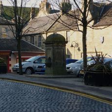
Pump, Market Square, Kilsyth
2.4 km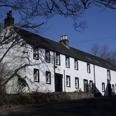
Garrel Mill
2.9 km
Kilsyth, Garrel Mill House
2.9 km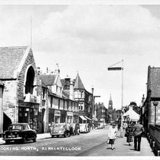
Kirkintilloch, Cowgate, St Mary's Parish Church
5.5 km
Auchenkilns Bridge
5.3 km
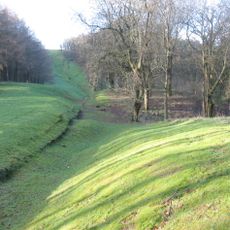
Antonine Wall, Bar Hill, rampart, ditch, fort and Military Way
220 m
Garngibboch Railway Bridge
5.4 km
Castle Hill
414 m
Colzium Lennox Estate
3.6 km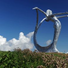
Arria by Andy Scott
4.7 km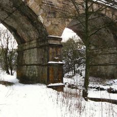
Garngibboch Railway Bridge over Luggie Water
5.4 km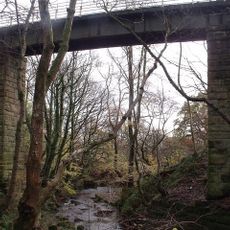
Garrel Viaduct
3 km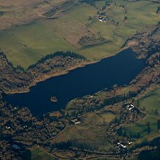
Banton Loch
4.3 kmBeoordelingen
Heeft u deze plek bezocht? Tik op de sterren om een beoordeling te geven en uw ervaring of foto's te delen met de community! Probeer het nu! U kunt het op elk moment annuleren.
Ontdek verborgen schatten op elk avontuur!
Van karakteristieke kleine cafeetjes tot geheime uitzichtpunten – ontvlucht de drukte en vind plekken die echt bij jou passen. Onze app maakt het makkelijk: spraakzoekopdrachten, slimme filters, geoptimaliseerde routes en authentieke tips van reizigers wereldwijd. Download nu en beleef het avontuur op je smartphone!

Een nieuwe benadering van toeristische ontdekking❞
— Le Figaro
Alle plekken die de moeite waard zijn om te ontdekken❞
— France Info
Een uitstapje op maat in slechts een paar klikken❞
— 20 Minutes