
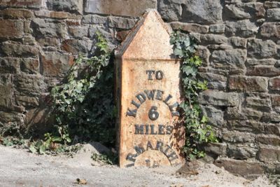
Milepost on Colby Road, Grade II listed building in Carmarthenshire. On the E side of Bramble Lodge, almost opposite the junction with the B4311 (Church Road)
Locatie: Pembrey and Burry Port Town
Hoogte boven de zeespiegel: 21,1 m
GPS-coördinaten: 51.68895,-4.23875
Laatste update: 8 maart 2025 om 19:01
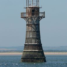
Whiteford Lighthouse
4.1 km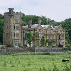
Stradey Castle
3.8 km
Court Farm, Pembrey
2.6 km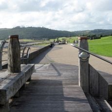
Millennium Coastal Park
2.8 km
The Town Hall
5.2 km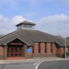
Our Lady Queen of Peace Church, Llanelli
5.1 km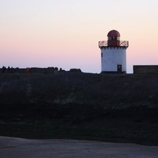
Burry Port Lighthouse
1.5 km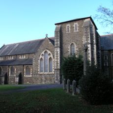
Church of All Saints, Llanelli
5.3 km
Tabernacl Independent Chapel
5.2 km
Hall Street English Methodist Church
5.2 km
Llanelli War Memorial
5.2 km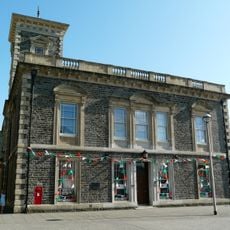
Llanelli Library
5.3 km
St Illtyd's Church
2.5 km
Church of St Mary
242 m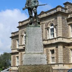
Boer War Memorial
5.2 km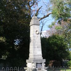
Monument to Amelia Earhart
816 m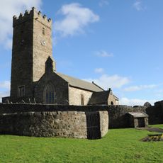
Animal Pound at Pembrey Church
2.5 km
Burry Port Library
1.2 km
Pembrey Library
2.5 km
Whitland Library
3.4 km
Stamps
5.3 km
Plas Kenrhos
939 m
Gates & Railings to Gardens at The Town Hall,Town Hall Square
5.2 km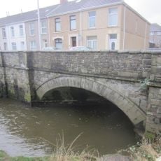
Bridge Over River Lliedi,Old Castle Road
4.9 km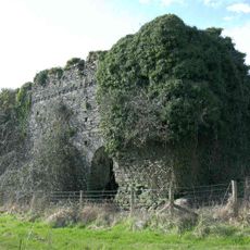
Outbuilding on S side of Court Farm
2.6 km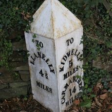
Milepost on Gwscwm Road
1.5 km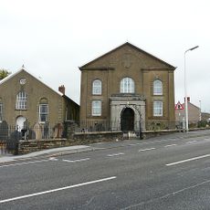
Jerwsalem Welsh Independent Chapel
760 m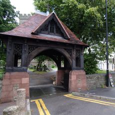
Lychgate to Churchyard of Church of St. Ellyw,Bridge Street
5.3 kmBeoordelingen
Heeft u deze plek bezocht? Tik op de sterren om een beoordeling te geven en uw ervaring of foto's te delen met de community! Probeer het nu! U kunt het op elk moment annuleren.
Ontdek verborgen schatten op elk avontuur!
Van karakteristieke kleine cafeetjes tot geheime uitzichtpunten – ontvlucht de drukte en vind plekken die echt bij jou passen. Onze app maakt het makkelijk: spraakzoekopdrachten, slimme filters, geoptimaliseerde routes en authentieke tips van reizigers wereldwijd. Download nu en beleef het avontuur op je smartphone!

Een nieuwe benadering van toeristische ontdekking❞
— Le Figaro
Alle plekken die de moeite waard zijn om te ontdekken❞
— France Info
Een uitstapje op maat in slechts een paar klikken❞
— 20 Minutes