
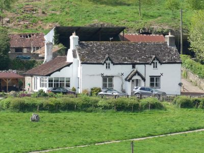
Pilstone Farmhouse, Prominently sited across the slope on west side of the Wye Valley; Pilstone Farm is reached from the by-road that runs north from the main A466 where it crosses the river at Bigsweir Bridge. Approximately 1km south of Whitebrook
Locatie: Trellech United
Hoogte boven de zeespiegel: 31,1 m
GPS-coördinaten: 51.74903,-2.67048
Laatste update: 9 maart 2025 om 08:56
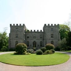
Clearwell Castle
3.8 km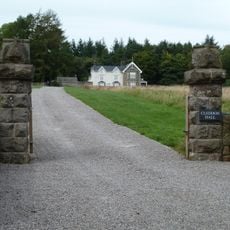
Cleddon Hall
2.8 km
Bigsweir Bridge
707 m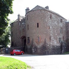
St Briavels Castle
2.4 km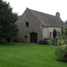
The Argoed, Penalt
3 km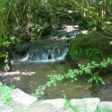
Slade Brook
2.6 km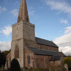
Church of St Nicholas
3.8 km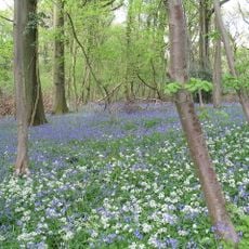
Highbury Wood
2.9 km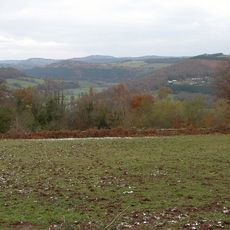
The Hudnalls
2.8 km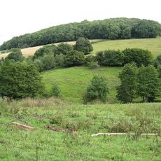
Astridge Wood
3.2 km
Sylvan House Barn
3.5 km
Bigsweir Woods
874 m
Beacon Hill, Monmouthshire
2.6 km
Pentwyn Farm Grasslands
3.8 km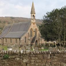
Church of St Oudoceus
2.1 km
Lower Hael Wood
1.8 km
Cleddon Bog
3.4 km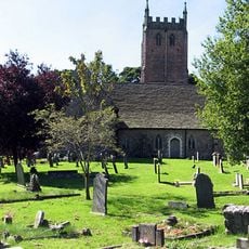
Church of St Mary
2.4 km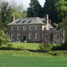
Bigsweir House
1.3 km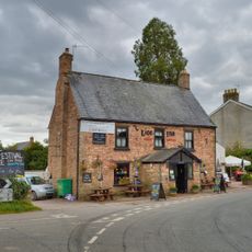
The Lion Inn
3.7 km
The Village Green Inn and Restaurant
3.8 km
Trellech Farmhouse
3.8 km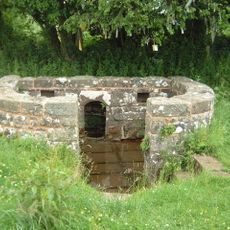
The Virtuous Well
3.6 km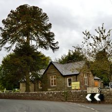
The Babington Centre
3.7 km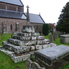
Cross in the churchyard of the Church of St Nicholas
3.8 km
Ebenezer Bible Christian Chapel
3.8 km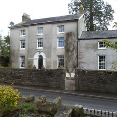
The Old Vicarage including front garden wall and gate
3.7 km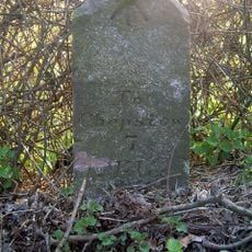
Milestone At Grid Reference 562028
3.8 kmHeeft u deze plek bezocht? Tik op de sterren om een beoordeling te geven en uw ervaring of foto's te delen met de community! Probeer het nu! U kunt het op elk moment annuleren.
Ontdek verborgen schatten op elk avontuur!
Van karakteristieke kleine cafeetjes tot geheime uitzichtpunten – ontvlucht de drukte en vind plekken die echt bij jou passen. Onze app maakt het makkelijk: spraakzoekopdrachten, slimme filters, geoptimaliseerde routes en authentieke tips van reizigers wereldwijd. Download nu en beleef het avontuur op je smartphone!

Een nieuwe benadering van toeristische ontdekking❞
— Le Figaro
Alle plekken die de moeite waard zijn om te ontdekken❞
— France Info
Een uitstapje op maat in slechts een paar klikken❞
— 20 Minutes