
School Of Architecture, Planning And Landscape, school building in Newcastle upon Tyne, Tyne and Wear, UK
Locatie: Newcastle upon Tyne
GPS-coördinaten: 54.98006,-1.61557
Laatste update: 29 mei 2025 om 16:27
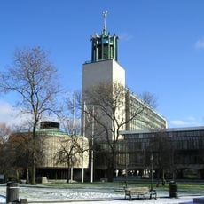
Newcastle Civic Centre
270 m
Great North Museum: Hancock
165 m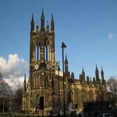
Church of St Thomas the Martyr
278 m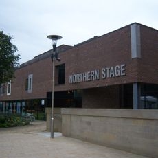
Northern Stage, Newcastle upon Tyne
130 m
Faculty of Humanities and Social Sciences
309 m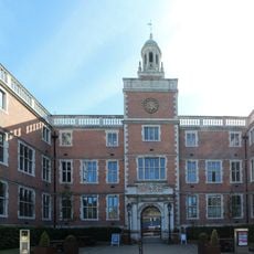
Newcastle University Students' Union
134 m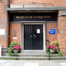
Museum of Antiquities
87 m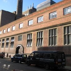
Emerson Cavitation Tunnel
107 m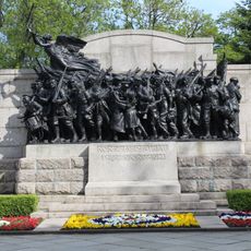
The Response 1914
241 m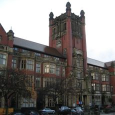
Shefton Museum
49 m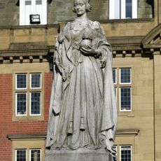
Statue of Queen Victoria
318 m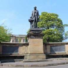
Armstrong Memorial
183 m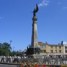
South African War Memorial
276 m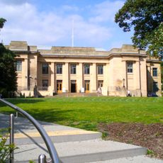
Hancock Museum of Natural History building
162 m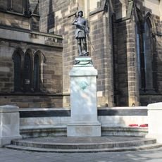
Royal Tank Regiment War Memorial
272 m
King George VI Building
241 m
River God Tyne
277 m
17 And 19, St Thomas' Street
316 m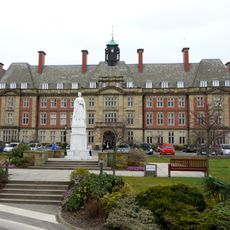
Royal Victoria Infirmary Administration Block
212 m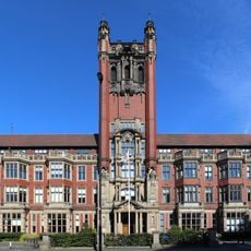
Armstrong Building
66 m
Gates, Lodges And Railings At Royal Victoria Infirmary
301 m
1-9, St Thomas' Square
330 m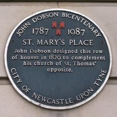
4, St Mary's Place East
327 m
25, St Thomas' Street
309 m
21 And 23, St Thomas' Street
308 m
Claremont Buildings
180 m
Old Library Building
30 m
Former Newcastle Breweries Offices
303 mBeoordelingen
Heeft u deze plek bezocht? Tik op de sterren om een beoordeling te geven en uw ervaring of foto's te delen met de community! Probeer het nu! U kunt het op elk moment annuleren.
Ontdek verborgen schatten op elk avontuur!
Van karakteristieke kleine cafeetjes tot geheime uitzichtpunten – ontvlucht de drukte en vind plekken die echt bij jou passen. Onze app maakt het makkelijk: spraakzoekopdrachten, slimme filters, geoptimaliseerde routes en authentieke tips van reizigers wereldwijd. Download nu en beleef het avontuur op je smartphone!

Een nieuwe benadering van toeristische ontdekking❞
— Le Figaro
Alle plekken die de moeite waard zijn om te ontdekken❞
— France Info
Een uitstapje op maat in slechts een paar klikken❞
— 20 Minutes