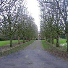
Manor Farmhouse, farmhouse in St. Paul Malmesbury Without, Wiltshire, UK
Locatie: St. Paul Malmesbury Without
GPS-coördinaten: 51.55337,-2.11125
Laatste update: 17 november 2025 om 10:14
Cole Park
2.2 km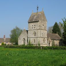
Church of the Holy Rood
1.1 km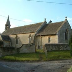
Church of All Saints
213 m
Former Coach House And Attached Garden Wall In The Courtyard To The North West Of Cole Park
2.2 km
Bridge, Gatepiers, Gates And Moat Wall To The North Of Cole Park
2.2 km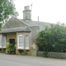
Pike House
2.2 km
Lynian
234 m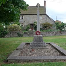
Corston and Rodbourne War Memorial Cross
153 m
The Old School
1.1 km
The Radnor Arms
154 m
Whiteheath House
913 m
Rodbourne House
1.4 km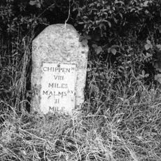
Milestone At Ngr 924836
588 m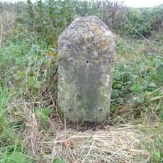
Milestone At Ngr 912838
927 m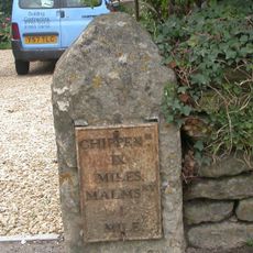
Milestone, 4 Metres To The North Of Pike House At Ngr 938853
2 km
Former Stables In The North East Corner Of The Courtyard At Cole Park
2.2 km
The Hermitage
149 m
The Dower House
989 m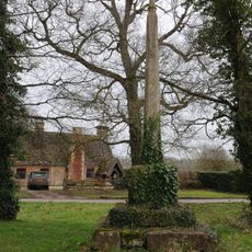
Village Cross
1.1 km
Barn At Kingway Farm
1.6 km
Firs Farmhouse And Boundary Wall And Railings
251 m
Two Monuments In The Churchyard, 10 Metres North Of Nave, Church Of All Saints
223 m
The Moat House
2.2 km
Cottage 40 Yards South Of Bridge, On East Side Of Road The Gables
280 m
Outbuildings To The North East Of The Dower House
1 km
Trinity Farmhouse
1 km
Radnor Cottage
152 m
Harries Ground, Rodbourne
1.7 kmHeeft u deze plek bezocht? Tik op de sterren om een beoordeling te geven en uw ervaring of foto's te delen met de community! Probeer het nu! U kunt het op elk moment annuleren.
Ontdek verborgen schatten op elk avontuur!
Van karakteristieke kleine cafeetjes tot geheime uitzichtpunten – ontvlucht de drukte en vind plekken die echt bij jou passen. Onze app maakt het makkelijk: spraakzoekopdrachten, slimme filters, geoptimaliseerde routes en authentieke tips van reizigers wereldwijd. Download nu en beleef het avontuur op je smartphone!

Een nieuwe benadering van toeristische ontdekking❞
— Le Figaro
Alle plekken die de moeite waard zijn om te ontdekken❞
— France Info
Een uitstapje op maat in slechts een paar klikken❞
— 20 Minutes