
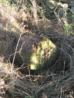
Township Road Marker Stone C.50 Metres East Of Moss Mire
Township Road Marker Stone C.50 Metres East Of Moss Mire, architectural structure in Marwood, County Durham, UK
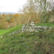
Cotherstone Castle
1.8 km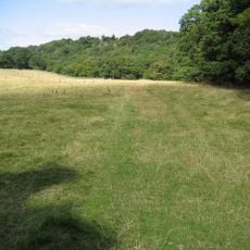
Shipley and Great Woods
1.9 km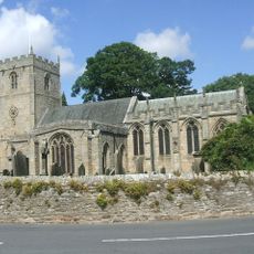
Church of St Romald
3.3 km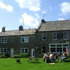
The Kirk Inn
3.3 km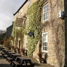
Rose And Crown Hotel
3.3 km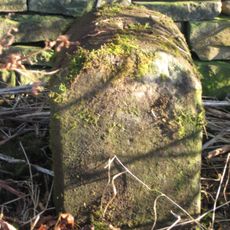
Township Road Marker Stone C.100 Metres South Of Handkerchief Plantation
1.7 km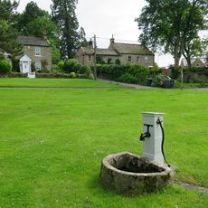
Water Pump And Trough, 45 Metres East Of Kirk Inn
3.2 km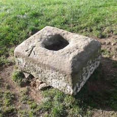
The Christening Stone, 160m east of Doe Park
2.2 km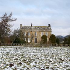
Doe Park
2.4 km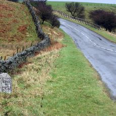
Milestone C.470 Metres East Of Folly Head
2.1 km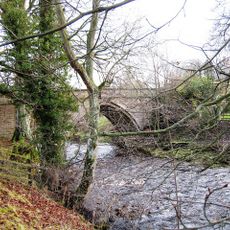
Balder Bridge
2.2 km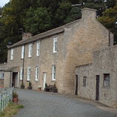
Woden Croft
2 km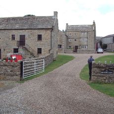
High Shipley
1.3 km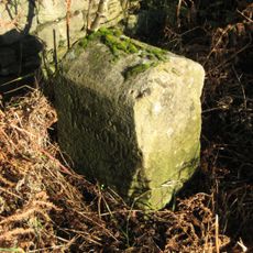
Township Road Marker Stone Opposite Howegill Plantation
1 km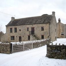
Byres And Loft South-East Of High Shipley
1.3 km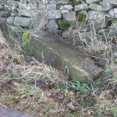
Township Road Marker Stone Opposite Howegill Plantation
1 km
Hallgarth Hill House
2 km
Kirkstile
3.3 km
The Green And Front Garden Wall
2.3 km
Brook Lea House (Shown On Os Map As Brook House)
2.2 km
Township Road Marker Stone At Junction With Billy Lane
2.8 km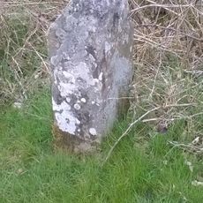
Boundary Stone At Junction With B6278
2.1 km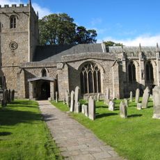
3 Headstones To Raine Family About 20 Metres South Of Church Of St Romald
3.3 km
Beckwath
3.2 km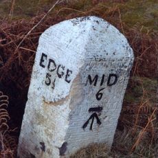
Milestone C.400 Metres East Of White House
2.3 km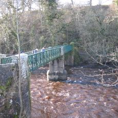
Cotherstone Bridge
1.7 km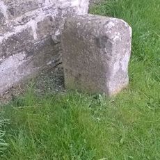
Hawton Lane End, jct of UC road to Kinninvie, NW of Barnard Castle
2.9 km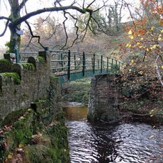
Footbridge over the River Balder
1.9 kmHeeft u deze plek bezocht? Tik op de sterren om een beoordeling te geven en uw ervaring of foto's te delen met de community! Probeer het nu! U kunt het op elk moment annuleren.
Ontdek verborgen schatten op elk avontuur!
Van karakteristieke kleine cafeetjes tot geheime uitzichtpunten – ontvlucht de drukte en vind plekken die echt bij jou passen. Onze app maakt het makkelijk: spraakzoekopdrachten, slimme filters, geoptimaliseerde routes en authentieke tips van reizigers wereldwijd. Download nu en beleef het avontuur op je smartphone!

Een nieuwe benadering van toeristische ontdekking❞
— Le Figaro
Alle plekken die de moeite waard zijn om te ontdekken❞
— France Info
Een uitstapje op maat in slechts een paar klikken❞
— 20 Minutes