
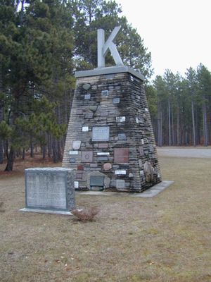
Kiwanis Monument, monument commemorating the efforts of private citizens in the reforesting of Michigan's barren lands
Locatie: Michigan
Locatie: Iosco County
Exploitant: Huron National Forest
Website: https://fs.usda.gov/recarea/hmnf/recarea/?recid=18992
GPS-coördinaten: 44.42650,-83.62383
Laatste update: 14 maart 2025 om 12:38
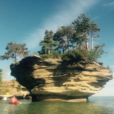
Turnip Rock
66.3 km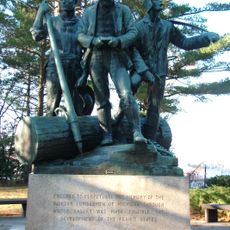
Lumberman's Monument
992 m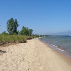
Port Crescent State Park
65.3 km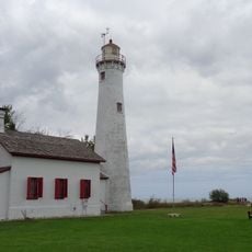
Sturgeon Point Light
42.1 km
Tawas Point State Park
23.7 km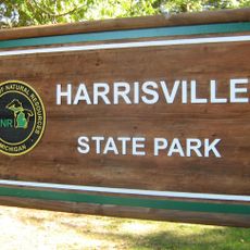
Harrisville State Park
35.9 km
Au Sable State Forest
56.7 km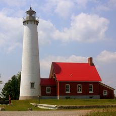
Tawas Point Light
23.7 km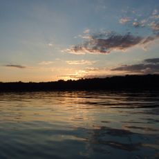
Negwegon State Park
53.3 km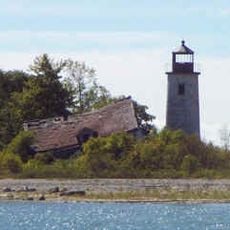
Charity Island Light
45.7 km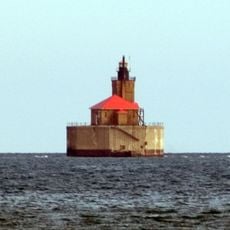
Port Austin Light
63.8 km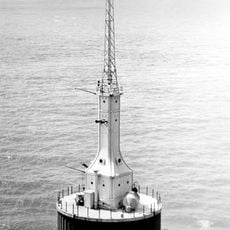
Gravelly Shoal Light
46 km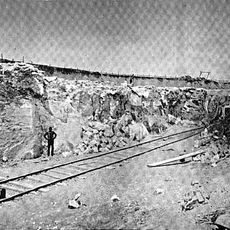
Alabaster Historic District
27.1 km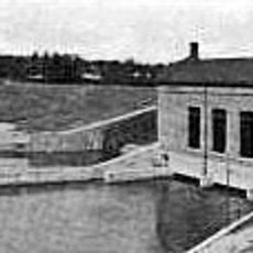
Five Channels Dam
5.3 km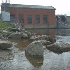
Cooke Dam
6.6 km
Roscommon Zoo
69 km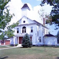
Oscoda County Courthouse
47.1 km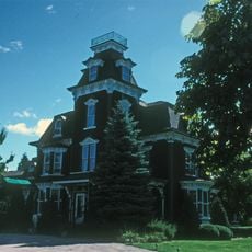
Charles G. Learned House
66 km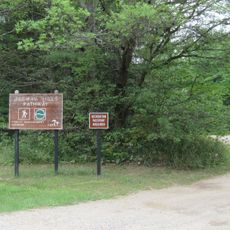
Ogemaw Hills Pathway
48.6 km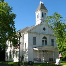
Second Arenac County Courthouse
46 km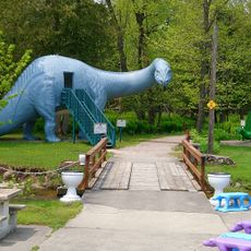
Dinosaur Gardens
56.3 km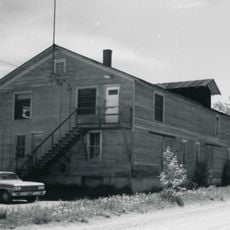
Bay Port Historic Commercial Fishing District
66.8 km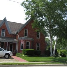
Smith-Culhane House
65.9 km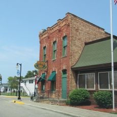
Winsor and Snover Bank Building
65.8 km
Caseville Harbor Light
60.1 km
White Pine National
37.3 km
Wurtsmith Air Museum
21.5 km
CoopersVille USA
67.4 kmHeeft u deze plek bezocht? Tik op de sterren om een beoordeling te geven en uw ervaring of foto's te delen met de community! Probeer het nu! U kunt het op elk moment annuleren.
Ontdek verborgen schatten op elk avontuur!
Van karakteristieke kleine cafeetjes tot geheime uitzichtpunten – ontvlucht de drukte en vind plekken die echt bij jou passen. Onze app maakt het makkelijk: spraakzoekopdrachten, slimme filters, geoptimaliseerde routes en authentieke tips van reizigers wereldwijd. Download nu en beleef het avontuur op je smartphone!

Een nieuwe benadering van toeristische ontdekking❞
— Le Figaro
Alle plekken die de moeite waard zijn om te ontdekken❞
— France Info
Een uitstapje op maat in slechts een paar klikken❞
— 20 Minutes