
Tortola, statistical district of British Virgin Islands
Locatie: British Virgin Islands
GPS-coördinaten: 18.43882,-64.60382
Laatste update: 12 maart 2025 om 05:32

The Baths
16.8 km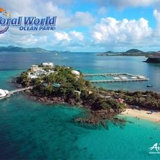
Coral World Ocean Park
29.2 km
Gibney Beach
20.6 km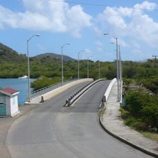
Queen Elizabeth II Bridge, British Virgin Islands
5.3 km
Sage Mountain National Park
6.5 km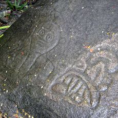
Reef Bay Trail petroglyphs
18.8 km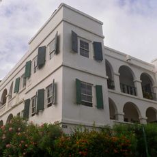
Government House
2.3 km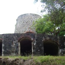
Catherineberg Sugar Mill Ruins
19.6 km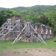
St. Phillip's Church
2.7 km
Annaberg Historic District
15.6 km
Fort George
1.5 km
Fort Charlotte
3.5 km
Reef Bay Sugar Factory Historic District
19.6 km
Mary Point Estate
16.6 km
Fort Purcell
7.1 km
Fortsberg
14.9 km
Whelk Point Fort
4.1 km
Lind Point Fort
23.4 km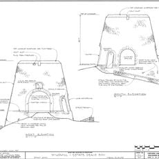
Dennis Bay Historic District
20.5 km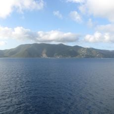
Mount Sage National Park
6.4 km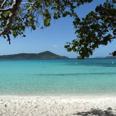
Lindquist Beach
28.9 km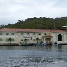
Cruz Bay Visitor Center
23.3 km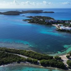
Turquoise Beach
28.4 km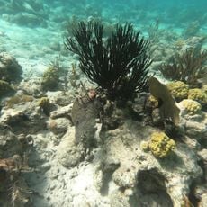
Waterlemon Cay Beach
14.9 km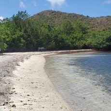
Saint Mary's Creek Beach
16.4 km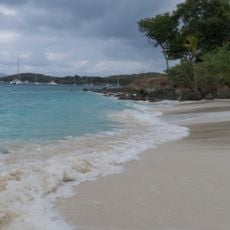
Salomon Beach
23.1 km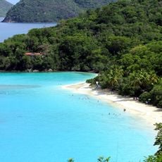
Trunk Beach
20.1 km
Little Cinnamon Bay Beach
18.7 kmHeeft u deze plek bezocht? Tik op de sterren om een beoordeling te geven en uw ervaring of foto's te delen met de community! Probeer het nu! U kunt het op elk moment annuleren.
Ontdek verborgen schatten op elk avontuur!
Van karakteristieke kleine cafeetjes tot geheime uitzichtpunten – ontvlucht de drukte en vind plekken die echt bij jou passen. Onze app maakt het makkelijk: spraakzoekopdrachten, slimme filters, geoptimaliseerde routes en authentieke tips van reizigers wereldwijd. Download nu en beleef het avontuur op je smartphone!

Een nieuwe benadering van toeristische ontdekking❞
— Le Figaro
Alle plekken die de moeite waard zijn om te ontdekken❞
— France Info
Een uitstapje op maat in slechts een paar klikken❞
— 20 Minutes