
Missouri River High Bridge, brug in Bismarck, Verenigde Staten van Amerika
Locatie: Bismarck
Ontstaan: 1905
Lengte: 465 m
GPS-coördinaten: 46.81816,-100.82681
Laatste update: 4 april 2025 om 19:08

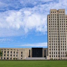
North Dakota State Capitol
3.4 km
Fort Abraham Lincoln
6.3 km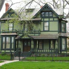
North Dakota Governor's Residence
3.2 km
Dakota Zoo
2.5 km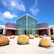
North Dakota Heritage Center
3.6 km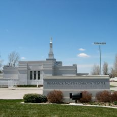
Bismarck North Dakota Temple
2.5 km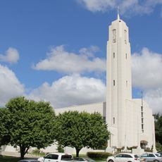
Cathedral of the Holy Spirit
2.5 km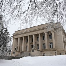
Liberty Memorial Building
3.5 km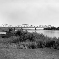
Liberty Memorial Bridge
145 m
Former North Dakota Executive Mansion
3.2 km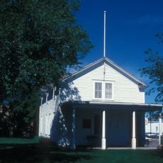
Camp Hancock State Historic Site
3 km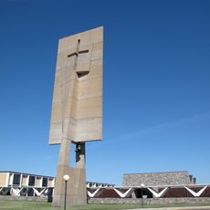
Our Lady of the Annunciation Chapel at Annunciation Priory
12.1 km
Bismarck Air Museum
6.5 km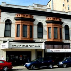
E. G. Patterson Building
3.5 km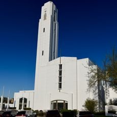
Bismarck Cathedral Area Historic District
2.5 km
Chief Looking's Village site
1.3 km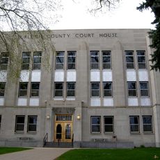
Burleigh County Courthouse
3.5 km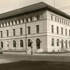
United States Post Office and Courthouse
3.3 km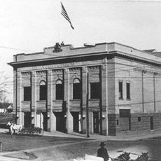
Bismarck Civic Auditorium
3.6 km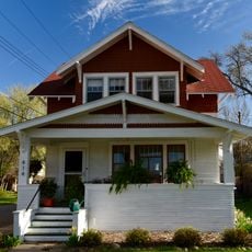
Fred and Gladys Grady House
3.2 km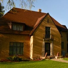
Dr. Albert M. and Evelyn M. Brandt House
3.7 km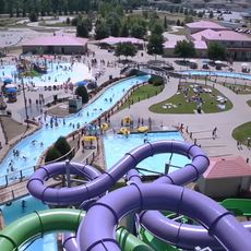
Raging Rivers
1.7 km
Midway Lanes
1.7 km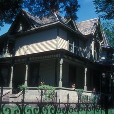
Towne–Williams House
3.5 km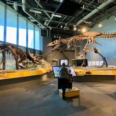
North Dakota Heritage Center & State Museum
3.7 km
SuperSlide Amusement Park
2.4 km
Hillside Aquatic Complex
4.8 km
Former Governors' Mansion State Historic Site
3.2 kmHeeft u deze plek bezocht? Tik op de sterren om een beoordeling te geven en uw ervaring of foto's te delen met de community! Probeer het nu! U kunt het op elk moment annuleren.
Ontdek verborgen schatten op elk avontuur!
Van karakteristieke kleine cafeetjes tot geheime uitzichtpunten – ontvlucht de drukte en vind plekken die echt bij jou passen. Onze app maakt het makkelijk: spraakzoekopdrachten, slimme filters, geoptimaliseerde routes en authentieke tips van reizigers wereldwijd. Download nu en beleef het avontuur op je smartphone!

Een nieuwe benadering van toeristische ontdekking❞
— Le Figaro
Alle plekken die de moeite waard zijn om te ontdekken❞
— France Info
Een uitstapje op maat in slechts een paar klikken❞
— 20 Minutes