
Fort Thomas, plaats in Kentucky
Locatie: Campbell County
Ontstaan: 27 februari 1867
Hoogte boven de zeespiegel: 262 m
Grenst aan: Cincinnati
Website: http://ftthomas.org
GPS-coördinaten: 39.07610,-84.45140
Laatste update: 12 maart 2025 om 04:57
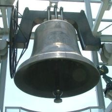
World Peace Bell
4.2 km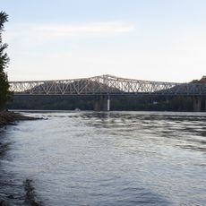
Combs–Hehl Bridge
2.6 km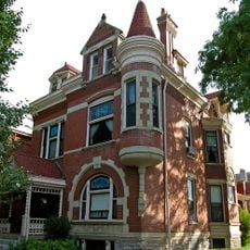
Mansion Hill Historic District
3.9 km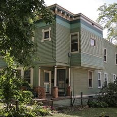
Landt Building
4.2 km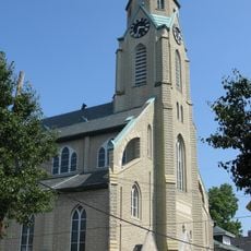
Sacred Heart Church
3.9 km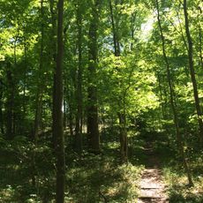
California Woods
2.8 km
Kestler Building
4 km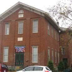
Spencer Township Hall
4.1 km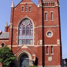
Salem Methodist Episcopal Church and Parsonage
3.8 km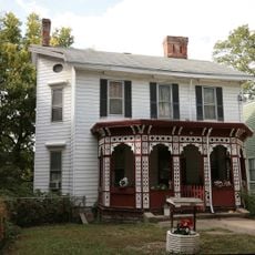
Bates Building
4.1 km
Bellevue
4.2 km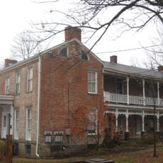
Stites House
4.2 km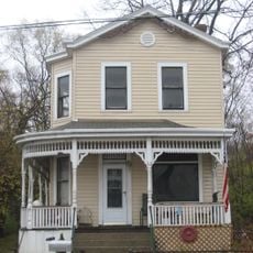
LuNeack House
4.2 km
Hoodin Building
4.2 km
Mardot Antique Shop
4 km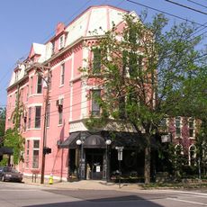
York Street Historic District
3.8 km
L.B. Robb Drugstore
4 km
Monmouth Street Historic District
4 km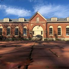
Fort Thomas Military Reservation District
1.4 km
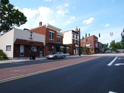
Fort Thomas Commercial District
1.4 km
St. Vincent de Paul School
3.1 km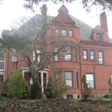
Charles Wiedemann House
3 km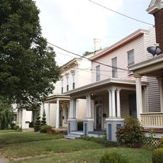
Taylor's Daughters Historic District
3.9 km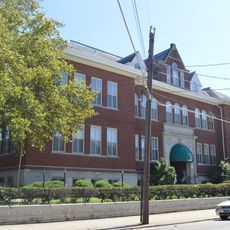
Bellevue High School
3.9 km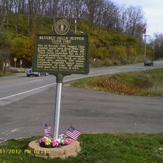
Beverly Hills Supper Club Fire
1.5 km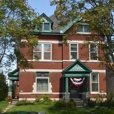
Joseph Seiter House
4.1 km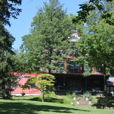
Foote-Fister Mansion
3.6 km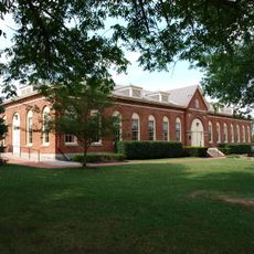
Fort Thomas Mess Hall
1.1 kmBeoordelingen
Heeft u deze plek bezocht? Tik op de sterren om een beoordeling te geven en uw ervaring of foto's te delen met de community! Probeer het nu! U kunt het op elk moment annuleren.
Ontdek verborgen schatten op elk avontuur!
Van karakteristieke kleine cafeetjes tot geheime uitzichtpunten – ontvlucht de drukte en vind plekken die echt bij jou passen. Onze app maakt het makkelijk: spraakzoekopdrachten, slimme filters, geoptimaliseerde routes en authentieke tips van reizigers wereldwijd. Download nu en beleef het avontuur op je smartphone!

Een nieuwe benadering van toeristische ontdekking❞
— Le Figaro
Alle plekken die de moeite waard zijn om te ontdekken❞
— France Info
Een uitstapje op maat in slechts een paar klikken❞
— 20 Minutes