
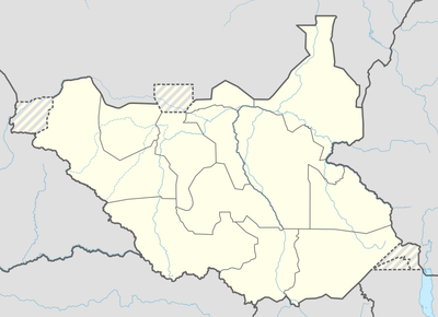
Aweil East County, County in Northern Bahr el Ghazal, South Sudan
Locatie: Northern Bahr el Ghazal
Hoogte boven de zeespiegel: 422 m
GPS-coördinaten: 9.00000,27.60000
Laatste update: 4 april 2025 om 10:12
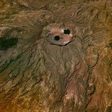
Jebel Marra
639.7 km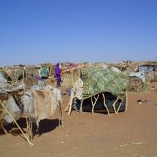
South Darfur State
361.7 km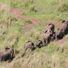
Nationaal park Garamba
585.7 km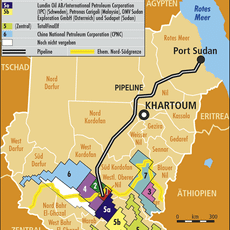
Block 5A, South Sudan
280.9 km
Fachoda
489.7 km
Southern National Park
283 km
Shambe National Park
398.1 km
Api Elephant Domestication Center
637.8 km
Juba Game Reserve
636.6 km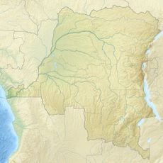
Domaine de chasse de Bili-Uere
556.5 km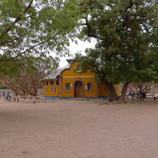
Holy Family Cathedral, Rumbek
333.1 km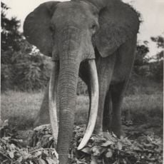
Gangala-na-Bodio Elephant Domestication Center
616.1 km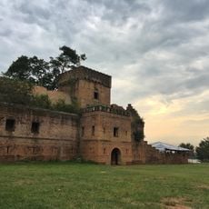
Dungu Castle
608.7 km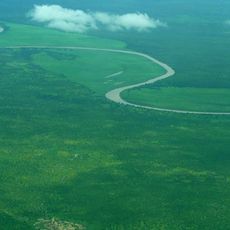
Mudīrīyat A‘ālī an Nīl
486.6 km
Obnoha
447.6 km
Mudīrīyat al Buḩayrāt
305.7 km
Wan Alel
219.9 km
Mundu
609.8 km
Province of West Equatoria
402.1 km
Lou
503.5 km
Mudīrīyat Baḩr al Ghazāl ash Sharqīyah
11 km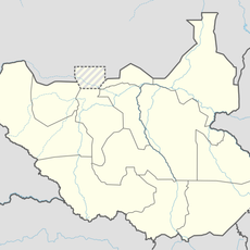
Fertit
191.1 km
Dinka
468.4 km
Izoturu
300.2 km
Mudīrīyat Junqalī
512.7 km
Nyareweng
484.1 km
Fajelu
625.2 km
Morokodo
484.6 kmHeeft u deze plek bezocht? Tik op de sterren om een beoordeling te geven en uw ervaring of foto's te delen met de community! Probeer het nu! U kunt het op elk moment annuleren.
Ontdek verborgen schatten op elk avontuur!
Van karakteristieke kleine cafeetjes tot geheime uitzichtpunten – ontvlucht de drukte en vind plekken die echt bij jou passen. Onze app maakt het makkelijk: spraakzoekopdrachten, slimme filters, geoptimaliseerde routes en authentieke tips van reizigers wereldwijd. Download nu en beleef het avontuur op je smartphone!

Een nieuwe benadering van toeristische ontdekking❞
— Le Figaro
Alle plekken die de moeite waard zijn om te ontdekken❞
— France Info
Een uitstapje op maat in slechts een paar klikken❞
— 20 Minutes