
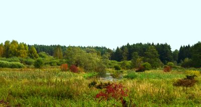
Vilnia Hydrographical Reserve
Locatie: Vilnius District Municipality
GPS-coördinaten: 54.73889,25.56028
Laatste update: 25 september 2025 om 08:40
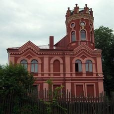
Arvydai-Bezdonys Manor
7.1 km
Botanical Garden of Vilnius University
10.1 km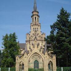
Church of St. Casimir, Naujoji Vilnia
10.7 km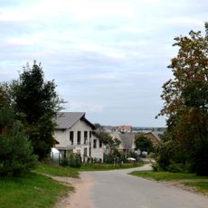
Rokantiškės
12 km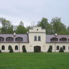
Kairėnai Manor
10.1 km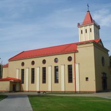
Church of the Blessed Virgin Mary, Queen of Peace, Naujoji Vilnia
11.3 km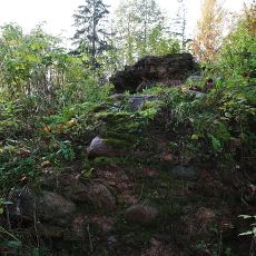
Rokantiškės Castle
12.2 km
Wysmałki
9.6 km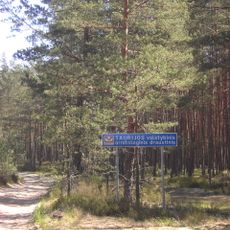
Taurija Ornitological Reserve
4 km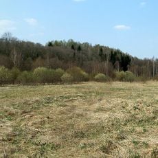
Dvarcionys Geomorphological Reserve
11.1 km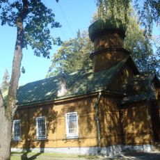
Orthodox Church of St. Peter and St. Paul, Vilnius
11.5 km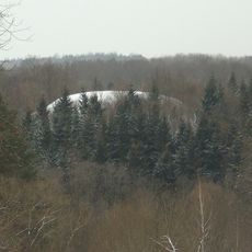
Rokantiškės hillfort
11.6 km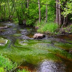
Verzuva Hydrographical Reserve
11.1 km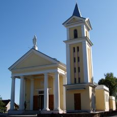
Church of the Assumption, Mickūnai
5.1 km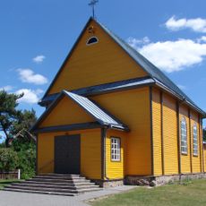
Church of Our Lady of the Gate of Dawn, Mother of Mercy, Bezdonys
7.5 km
Tapeliai Landscape Reserve
8.6 km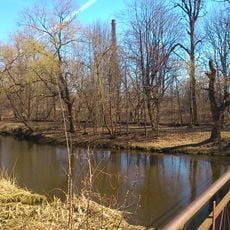
Naujoji Vilnia Park
10.2 km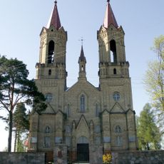
Church of St. John the Baptist, Lavoriškės
6.1 km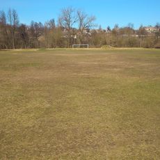
Naujoji Vilnia Old Stadium
10.2 km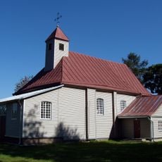
Church of Our Lady of the Gate of Dawn, Kena
10.9 km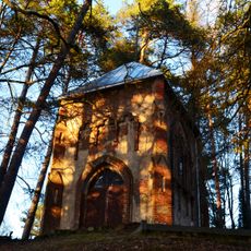
Radziszewski family chapel, Antaviliai
12.2 km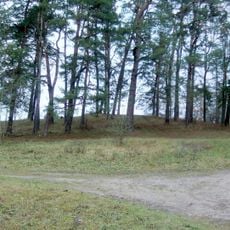
Lavoriškės hillfort
6.1 km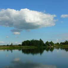
Kyviškių tvenkinys
8.5 km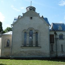
Chapel in Vėliučionys
11.5 km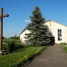
Chapel in Mostiškės
8.2 km
Old chapel, Mostiškės
7.7 km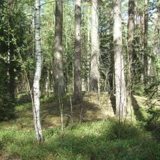
Baniškių pilkapynas
11.9 km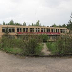
Soviet Bunker museum
10.4 kmBeoordelingen
Heeft u deze plek bezocht? Tik op de sterren om een beoordeling te geven en uw ervaring of foto's te delen met de community! Probeer het nu! U kunt het op elk moment annuleren.
Ontdek verborgen schatten op elk avontuur!
Van karakteristieke kleine cafeetjes tot geheime uitzichtpunten – ontvlucht de drukte en vind plekken die echt bij jou passen. Onze app maakt het makkelijk: spraakzoekopdrachten, slimme filters, geoptimaliseerde routes en authentieke tips van reizigers wereldwijd. Download nu en beleef het avontuur op je smartphone!

Een nieuwe benadering van toeristische ontdekking❞
— Le Figaro
Alle plekken die de moeite waard zijn om te ontdekken❞
— France Info
Een uitstapje op maat in slechts een paar klikken❞
— 20 Minutes