
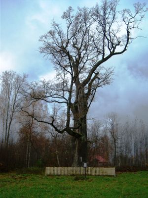
Buivėnų ąžuolas
Locatie: Kupiškis District Municipality
GPS-coördinaten: 55.81462,24.87974
Laatste update: 25 september 2025 om 08:40
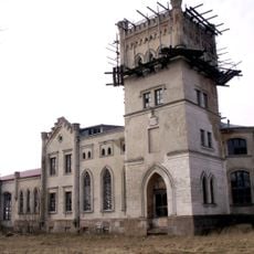
Beržėnai Manor
4.3 km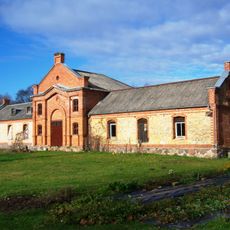
Palėvenė manor
4.8 km
Church of the Ascension of Christ, Kupiškis
6.8 km
Church of Saint Dominic, Palėvenė
1.3 km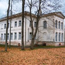
Antašava Manor
11.5 km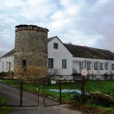
Noriūnai Manor
1.8 km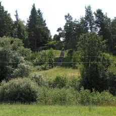
Aukštupėnai mound
7 km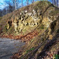
Stirniškių atodanga
4.6 km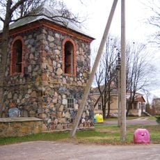
Church of St. Hyacinth, Antašava
11.3 km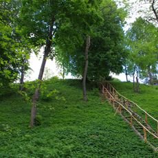
Stirniškiai hillfort
5.5 km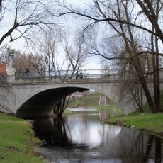
Gediminas Bridge
6.6 km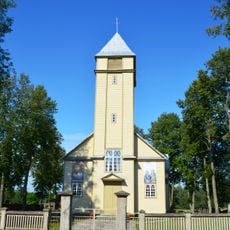
Church of St. Francis of Assisi, Subačius
9.6 km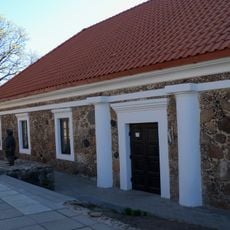
Kupiškio Museum of Ethnography
6.8 km
Church of St. Joseph, Geležiai
11.6 km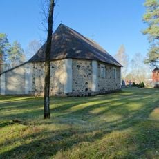
Chapel in Tiltagaliai
9.7 km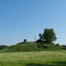
Gaigaliai hillfort, Kupiškis
13 km
Church of the Blessed Virgin Mary, Palėvenėlė
12.3 km
Church of the Holy Trinity, Senasis Subačius
10.9 km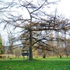
Stirniškių kurilinis maumedis
4.8 km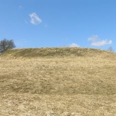
Bakšėnų piliakalnis
12.8 km
Likalaukiai hillfort
9.8 km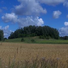
Papiliai hillfort, Kupiškis
13 km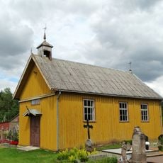
Stračniai chapel
11.4 km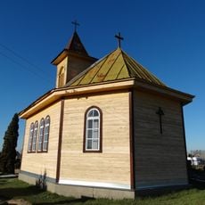
Chapel in Lukonys
7 km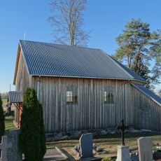
Chapel in Žiliškiai
9.7 km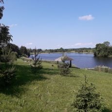
Noriūnų tvenkinys
1.3 km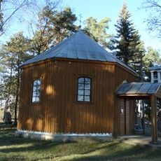
Chapel in Uoginiai
10.5 km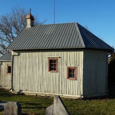
Chapel in Gikonys
13.1 kmBeoordelingen
Heeft u deze plek bezocht? Tik op de sterren om een beoordeling te geven en uw ervaring of foto's te delen met de community! Probeer het nu! U kunt het op elk moment annuleren.
Ontdek verborgen schatten op elk avontuur!
Van karakteristieke kleine cafeetjes tot geheime uitzichtpunten – ontvlucht de drukte en vind plekken die echt bij jou passen. Onze app maakt het makkelijk: spraakzoekopdrachten, slimme filters, geoptimaliseerde routes en authentieke tips van reizigers wereldwijd. Download nu en beleef het avontuur op je smartphone!

Een nieuwe benadering van toeristische ontdekking❞
— Le Figaro
Alle plekken die de moeite waard zijn om te ontdekken❞
— France Info
Een uitstapje op maat in slechts een paar klikken❞
— 20 Minutes