
Brown Dikes Roman temporary camp
Brown Dikes Roman temporary camp, archaeological site in Newbrough, Northumberland, England, UK
Locatie: Newbrough
Onderdeel van: borders of the Roman Empire, Hadrian's Wall
GPS-coördinaten: 55.02700,-2.25201
Laatste update: 17 november 2025 om 19:58
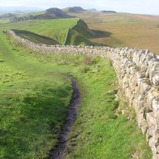
Muur van Hadrianus
2.6 km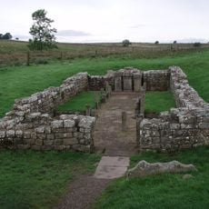
Carrawburgh
2.1 km
Milecastle 33
997 m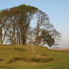
Milecastle 34
2.3 km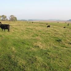
Milecastle 32
899 m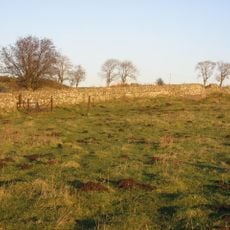
Milecastle 31
1.8 km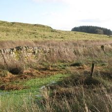
Coventina's Well
2 km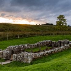
Carrawburgh Roman fort and Hadrian's Wall and vallum
2 km
Brocolitia Mithraic temple
2 km
Grindon School Roman temporary camp
2.6 km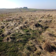
Brocolitia Roman fort
2.1 km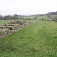
Hadrians Wall, Milecastles and Turrets
2.2 km
Round cairn, 670m NNE of Middle House
906 m
Hadrian's Wall and vallum between the field boundary west of Coventina's Well and the field boundary at Brown Dikes in wall mile
906 m
Prehistoric rock art west of Middle House
1.1 km
Gate Piers Gates And Garden Wall Adjoining North West Corner To Stonecroft House
3 km
Round cairn, 1.34km west of Middle House
911 m
Hadrian's Wall and vallum between the field boundary at Brown Dikes and the field boundary east of turret 34a in wall miles 32,
1.5 km
Carrawburgh Farmhouse With Adjacent Outbuildings
2.8 km
Round cairn, 1.1km west of Middle House
820 m
Round cairn, 1.36km west of Middle House
942 m
Fishponds, 450m north-east of Sewingshields
2.9 km
Coesike East Roman temporary camp
2.1 km
Coesike West Roman temporary camps 1 and 2
2.2 km
Brown Moor Roman temporary camp
419 m
Moated site and fishpond, 1km ENE of Sewingshields on Fozy Moss
2.2 km
High Stonecroft House
2 km
Kirkshield
2.7 kmBeoordelingen
Heeft u deze plek bezocht? Tik op de sterren om een beoordeling te geven en uw ervaring of foto's te delen met de community! Probeer het nu! U kunt het op elk moment annuleren.
Ontdek verborgen schatten op elk avontuur!
Van karakteristieke kleine cafeetjes tot geheime uitzichtpunten – ontvlucht de drukte en vind plekken die echt bij jou passen. Onze app maakt het makkelijk: spraakzoekopdrachten, slimme filters, geoptimaliseerde routes en authentieke tips van reizigers wereldwijd. Download nu en beleef het avontuur op je smartphone!

Een nieuwe benadering van toeristische ontdekking❞
— Le Figaro
Alle plekken die de moeite waard zijn om te ontdekken❞
— France Info
Een uitstapje op maat in slechts een paar klikken❞
— 20 Minutes