
Monkokehampton, nederzetting in het Verenigd Koninkrijk
Locatie: West Devon
Hoogte boven de zeespiegel: 73,8 m
GPS-coördinaten: 50.83092,-4.00578
Laatste update: 29 april 2025 om 21:23
Church of All Saints
5.2 km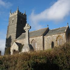
Church of St James
3.4 km
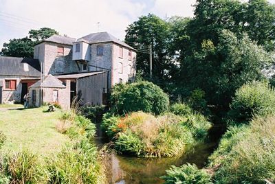
Made-Well
4.9 km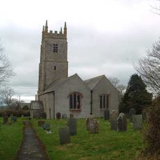
Church of St Peter
5.3 km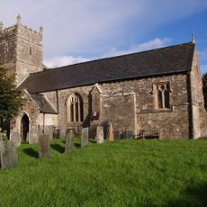
Church of St Michael
5 km
Church of St John the Baptist
4.8 km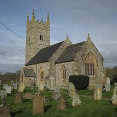
Church of All Saints
744 m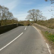
Hele Bridge
4.9 km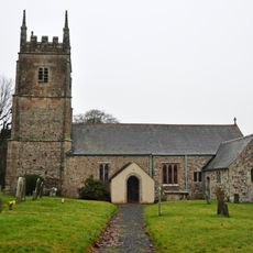
Church of St James
3.8 km
Church of All Hallows
2.9 km
Church of St Mary
3.8 km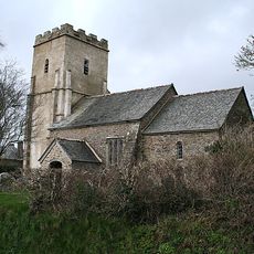
Church of St Mary
4.8 km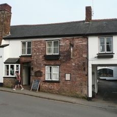
Tally Ho Inn
4.7 km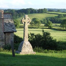
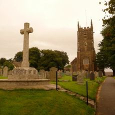
Iddesleigh War Memorial
3.4 km
The George Hotel
4.8 km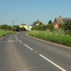
Dartmoor View
5.7 km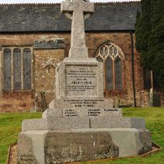
Hatherleigh War Memorial
4.8 km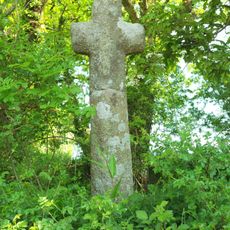
Cross At Ss 554074
3.9 km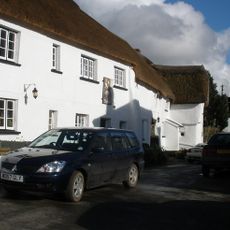
Duke Of York Inn
3.4 km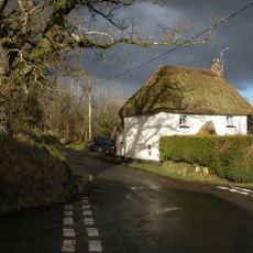
Weekmoor Cross Cottage
2.5 km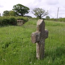
Basset's Cross
4.3 km
Wayside cross at junction between Victoria Road and Park Road, east of Hatherleigh
4.2 km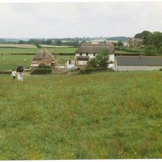
East Or Groves Fishleigh Farmhouse
3.4 km
Wayside cross socket stone at road junction 70m east of St Peter's Church
5.3 km
Barn Immediately To South-West Of East Or Groves Fishleigh Farmhouse
3.4 km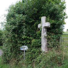
Wayside cross at Bulland Cross
5.9 km
Letheren And Sons Office Hole Court
4.8 km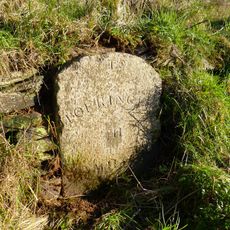
Milestone, S of Fishleigh Cross, on by-pass, 50m S of jct with old road, by path rising up the embankment
4.8 kmBeoordelingen
Heeft u deze plek bezocht? Tik op de sterren om een beoordeling te geven en uw ervaring of foto's te delen met de community! Probeer het nu! U kunt het op elk moment annuleren.
Ontdek verborgen schatten op elk avontuur!
Van karakteristieke kleine cafeetjes tot geheime uitzichtpunten – ontvlucht de drukte en vind plekken die echt bij jou passen. Onze app maakt het makkelijk: spraakzoekopdrachten, slimme filters, geoptimaliseerde routes en authentieke tips van reizigers wereldwijd. Download nu en beleef het avontuur op je smartphone!

Een nieuwe benadering van toeristische ontdekking❞
— Le Figaro
Alle plekken die de moeite waard zijn om te ontdekken❞
— France Info
Een uitstapje op maat in slechts een paar klikken❞
— 20 Minutes