
Cropredy, dorp in Cherwell, Verenigd Koninkrijk
Locatie: Cherwell
Grenst aan: Claydon with Clattercot, Wardington, Bourton, Prescote, Mollington
Website: http://cropredyvillage.info
GPS-coördinaten: 52.11600,-1.32000
Laatste update: 3 maart 2025 om 02:53
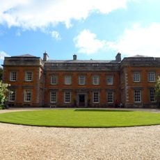
Farnborough Hall
4.4 km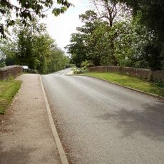
Cropredy Bridge
371 m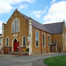
Cropredy Methodist Church
274 m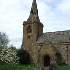
Church of St Botolph, Farnborough, Warks
4.4 km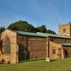
Church of All Saints
2.6 km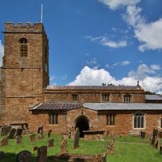
Church of St Mary Magdalene
2.5 km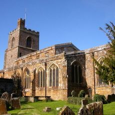
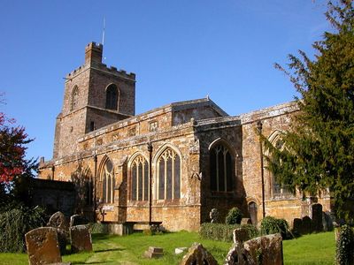
Church of St Mary the Virgin
243 m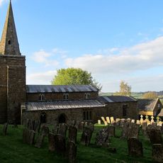
Church of St Lawrence
4.2 km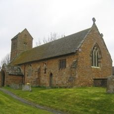
Church of St James the Great
3.6 km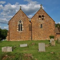
Church of All Saints
1.5 km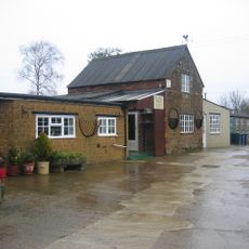
Bygones Museum
3.5 km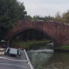
Field Bridge Number 155 Over Oxford Canal
1.2 km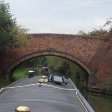
Field Bridge Number 156 Over Oxford Canal
1.7 km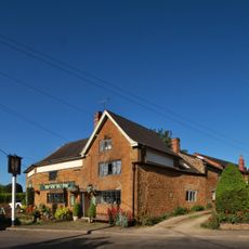
The Brasenose Arms
103 m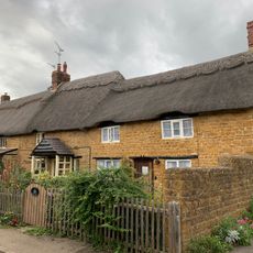
Beam Cottage Dingles And Cottage Abutting On Right
166 m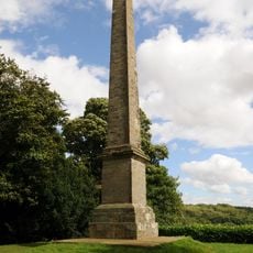
Farnborough Hall The Obelisk
4.1 km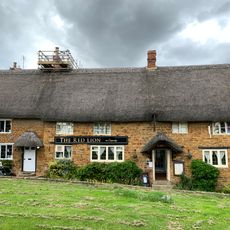
Red Lion Public House
284 m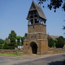
Lychgate at Church of All Saints
1.5 km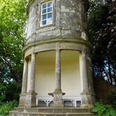
Farnborough Hall The Oval Pavilion
4.3 km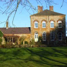
Prescote Manor
735 m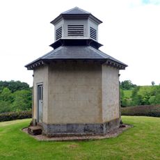
The Game Larder
4.4 km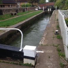
Cropredy Lock Oxford Canal
354 m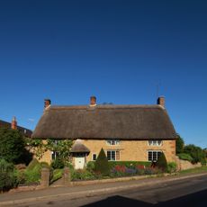
Constone
79 m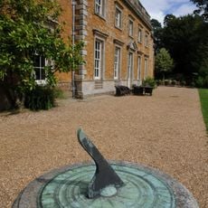
Farnborough Hall Sundial Approximately 4 Metres West
4.6 km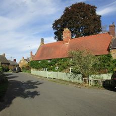
House Abutting And To Left Of Wisteria Cottage
2.5 km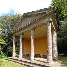
The Ionic Temple
4.3 km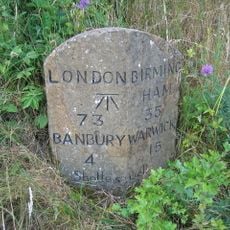
Milestone, rear northern village turn
4.8 km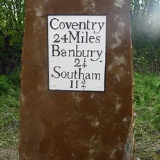
Milestone, near Little Bourton, 2 miles N of Banbury
2.8 kmBeoordelingen
Heeft u deze plek bezocht? Tik op de sterren om een beoordeling te geven en uw ervaring of foto's te delen met de community! Probeer het nu! U kunt het op elk moment annuleren.
Ontdek verborgen schatten op elk avontuur!
Van karakteristieke kleine cafeetjes tot geheime uitzichtpunten – ontvlucht de drukte en vind plekken die echt bij jou passen. Onze app maakt het makkelijk: spraakzoekopdrachten, slimme filters, geoptimaliseerde routes en authentieke tips van reizigers wereldwijd. Download nu en beleef het avontuur op je smartphone!

Een nieuwe benadering van toeristische ontdekking❞
— Le Figaro
Alle plekken die de moeite waard zijn om te ontdekken❞
— France Info
Een uitstapje op maat in slechts een paar klikken❞
— 20 Minutes