
Boundary Stone 100 Metres South-East Of High Shilford Farmhouse
Boundary Stone 100 Metres South-East Of High Shilford Farmhouse, boundary marker in Broomhaugh and Riding, Northumberland, UK
Locatie: Broomhaugh and Riding
Onderdeel van: political border
GPS-coördinaten: 54.93888,-1.96733
Laatste update: 28 mei 2025 om 05:17
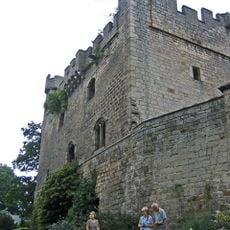
Bywell Castle
3 km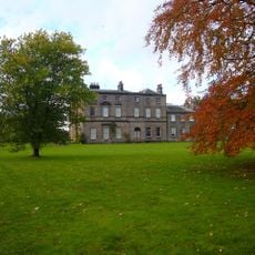
Bywell Hall
2.7 km
Minsteracres
4.9 km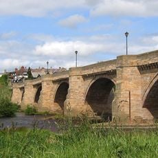
Corbridge Bridge
5 km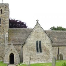
St Andrew's Church, Bywell
2.8 km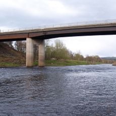
Styford Bridge
1.6 km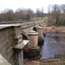
Bywell Bridge
3.4 km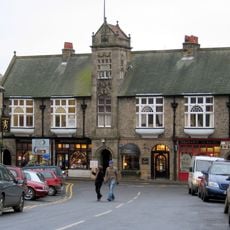
Town Hall With Shops
5.1 km
Hindley Hall
3.1 km
Church of St John
2.2 km
Church of St James
914 m
Church of St Peter
2.9 km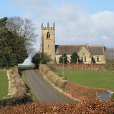
Church of St James
5 km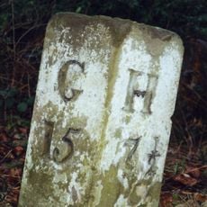
Milestone 200 Metres East Of Broomley Road Junction
2.7 km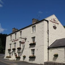
Wellington Inn
1.1 km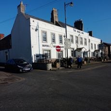
The Angel Inn
5 km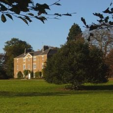
Styford Hall
1.7 km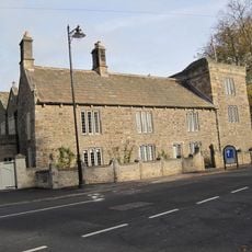
Low Hall
4.9 km
East Portal Of Farnley Scar Tunnel
3.4 km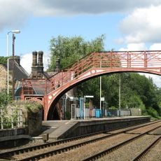
Footbridge at Riding Mill railway station
1.1 km
The Manor House And Wall Attached To Rear
1.4 km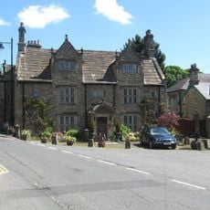
Monksholme
4.9 km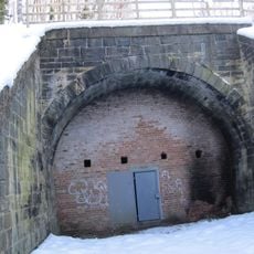
West Portal Of Farnley Scar Tunnel
3.5 km
Milepost 90 Metres East Of Styford Lodge
3.2 km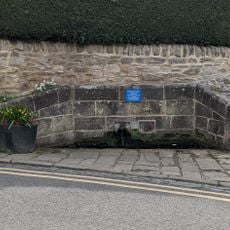
Hydrants And Trough At Junction With Orchard Crescent
5 km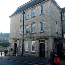
Lloyds Bank
5 km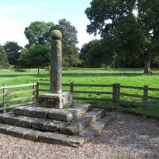
Village Cross
2.9 km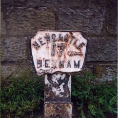
Milepost, approach on S side of bridge
4.9 kmBeoordelingen
Heeft u deze plek bezocht? Tik op de sterren om een beoordeling te geven en uw ervaring of foto's te delen met de community! Probeer het nu! U kunt het op elk moment annuleren.
Ontdek verborgen schatten op elk avontuur!
Van karakteristieke kleine cafeetjes tot geheime uitzichtpunten – ontvlucht de drukte en vind plekken die echt bij jou passen. Onze app maakt het makkelijk: spraakzoekopdrachten, slimme filters, geoptimaliseerde routes en authentieke tips van reizigers wereldwijd. Download nu en beleef het avontuur op je smartphone!

Een nieuwe benadering van toeristische ontdekking❞
— Le Figaro
Alle plekken die de moeite waard zijn om te ontdekken❞
— France Info
Een uitstapje op maat in slechts een paar klikken❞
— 20 Minutes