
Churchlands, building in Stone-cum-Ebony, Ashford, Kent, UK
Locatie: Stone-cum-Ebony
GPS-coördinaten: 51.01530,0.76465
Laatste update: 19 augustus 2025 om 00:33
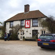
Red Lion, Snargate
5.1 km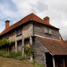
Smallhythe Place
5.2 km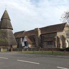
St Augustine's Church, Brookland
5.2 km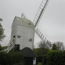
Stocks Mill
2.7 km
Domestic chapel at Horne's Place
3.7 km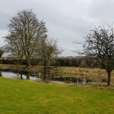
National Trust
5.2 km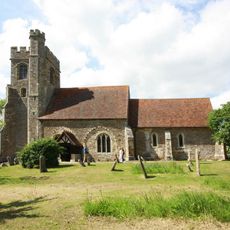
The Parish Church of All Saints
4.6 km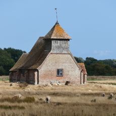
Church of St Thomas A Becket and mounting block attached
2.9 km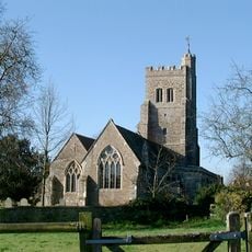
Parish Church of St John the Baptist
4.3 km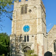
Church of St Peter and St Paul
2.4 km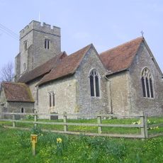
Parish Church of St Mary the Virgin
279 m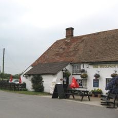
The Woolpack Inn
4.9 km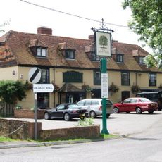
The Royal Oak Inn
5.2 km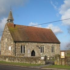
Church of St Mary
3.5 km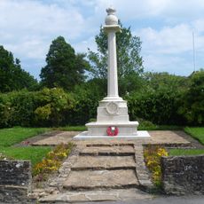
Wittersham War Memorial
4 km
Church of St Dunstan
5.1 km
Brattle House
4.6 km
Smith's Farmhouse
5 km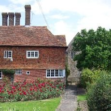
Horne's Place
3.7 km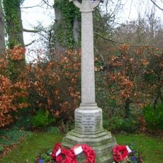
Iden War Memorial
4.4 km
Detached Belfry about 1 yard north of Church of St Augustine
5.2 km
Dean Court
3.8 km
Sly Corner
5 km
Royal Military Canal, Iden Lock to Kent Ditch
2.8 km
Becket's House
2.3 km
The Hall
5.1 km
Barn Circa 50 Yards West Of Becket's Barn Farmhouse
2.5 km
Oxenbridge Farmhouse
3.9 kmBeoordelingen
Heeft u deze plek bezocht? Tik op de sterren om een beoordeling te geven en uw ervaring of foto's te delen met de community! Probeer het nu! U kunt het op elk moment annuleren.
Ontdek verborgen schatten op elk avontuur!
Van karakteristieke kleine cafeetjes tot geheime uitzichtpunten – ontvlucht de drukte en vind plekken die echt bij jou passen. Onze app maakt het makkelijk: spraakzoekopdrachten, slimme filters, geoptimaliseerde routes en authentieke tips van reizigers wereldwijd. Download nu en beleef het avontuur op je smartphone!

Een nieuwe benadering van toeristische ontdekking❞
— Le Figaro
Alle plekken die de moeite waard zijn om te ontdekken❞
— France Info
Een uitstapje op maat in slechts een paar klikken❞
— 20 Minutes