
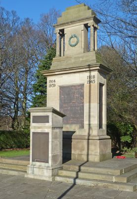
Horsforth War Memorial, war memorial in Horsforth, West Yorkshire
Locatie: Horsforth
Ontstaan: 1920
GPS-coördinaten: 53.83460,-1.64572
Laatste update: 3 april 2025 om 02:57
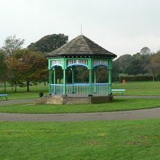
Horsforth Hall Park
370 m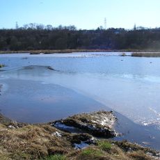
Rodley Nature Reserve
1.4 km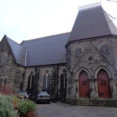
Grove Methodist Church
410 m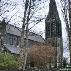
Church of St Margaret
644 m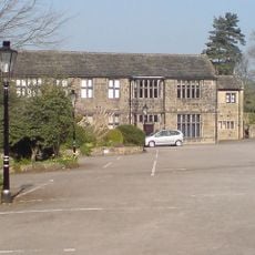
Low Hall Restaurant And Farmhouse
1.2 km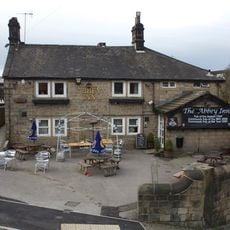
Abbey Inn
1 km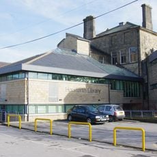
Horsforth Library
791 m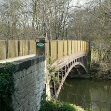
Newlay Bridge
846 m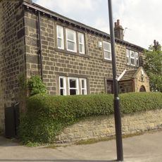
2,6 And 8, Bachelor Lane
1 km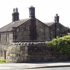
Low Fold
233 m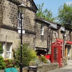
K6 Telephone Kiosk Adjacent To The Old Kings Arms Public House
309 m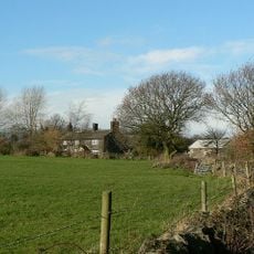
Lee Lane Farmhouse
1.3 km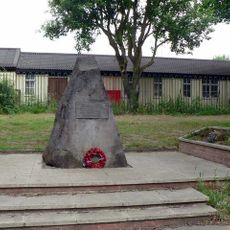
Stanhope Drive War Memorial
938 m
Upper Bank House
285 m
Croft House
965 m
Grove Manse
394 m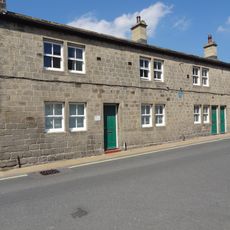
79,81 And 83, Town Street
598 m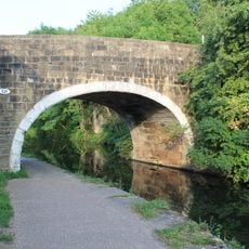
Leeds and Liverpool Canal Bridge 221
1.1 km
Toll House To Iron Bridge
829 m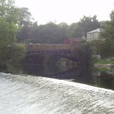
Weir And Retaining Walls On River Aire
869 m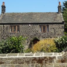
4, Hall Lane
304 m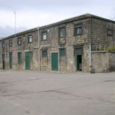
Stable Block To Former Horsforth Hall
445 m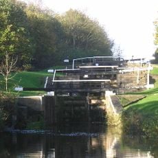
Newlay Locks
1.3 km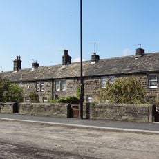
123-135, Town Street
838 m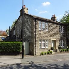
6, Hall Lane
286 m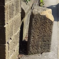
Gritstone pillar with three cup marks in the north pavement of the A65 at Horsforth, 440m south east of the roundabout at Low Fold
233 m
Milestone, New Road Side, Horsforth
241 m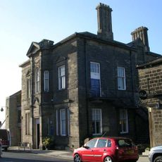
Horsforth Community Hub
787 mBeoordelingen
Heeft u deze plek bezocht? Tik op de sterren om een beoordeling te geven en uw ervaring of foto's te delen met de community! Probeer het nu! U kunt het op elk moment annuleren.
Ontdek verborgen schatten op elk avontuur!
Van karakteristieke kleine cafeetjes tot geheime uitzichtpunten – ontvlucht de drukte en vind plekken die echt bij jou passen. Onze app maakt het makkelijk: spraakzoekopdrachten, slimme filters, geoptimaliseerde routes en authentieke tips van reizigers wereldwijd. Download nu en beleef het avontuur op je smartphone!

Een nieuwe benadering van toeristische ontdekking❞
— Le Figaro
Alle plekken die de moeite waard zijn om te ontdekken❞
— France Info
Een uitstapje op maat in slechts een paar klikken❞
— 20 Minutes