
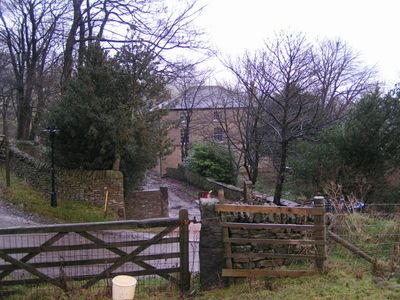
Rushup Hall, building in Chapel-en-le-Frith, High Peak, Derbyshire, UK
Locatie: Chapel-en-le-Frith
GPS-coördinaten: 53.33628,-1.85850
Laatste update: 3 maart 2025 om 04:47
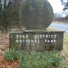
Nationaal park Peak District
2.3 km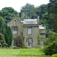
Bowden Hall
2.8 km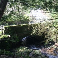
Ford Hall Bridge
1.9 km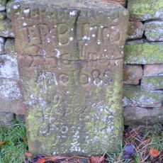
Tombstone at Friends Burial Ground 4.5 metres north of Chestnut Farmhouse
2 km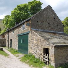
Dalehead Farmhouse and attached barn
2.2 km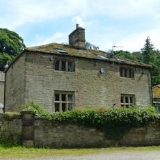
The Smithy
2.8 km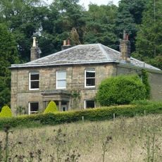
Slack Hall
2.3 km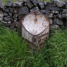
Milepost 800 yards to the south of Peakshill Farmhouse
2 km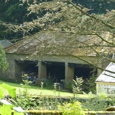
Cartshed to north west of Bowden Hall
2.8 km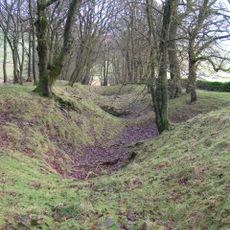
Gautries Rake
1.5 km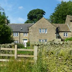
Bowden Head Farmhouse
2.6 km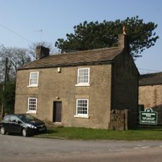
Chestnut Farmhouse
2 km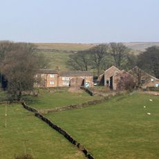
Shireoaks Farmhouse
2.6 km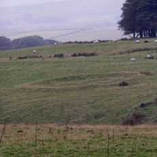
Green Low ringcairn
1.4 km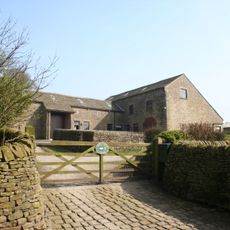
Barn At Malcoff Farm
2.4 km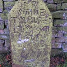
Tombstone at Friends Burial Ground four Metres North of Chestnut Farmhouse
2 km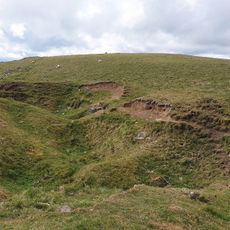
Eldon Hill crushing circle, associated lead mining remains and palisaded enclosure on Eldon Hill
2.4 km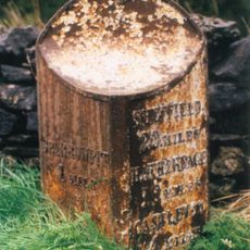
Milepost 20 yards to the north east of Perryfoot Farmhouse
1.1 km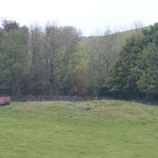
Perry Dale bowl barrow and long barrow
1.7 km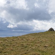
Eldon Hill bowl barrow
2.3 km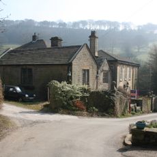
Ford Hall
1.9 km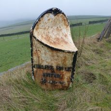
Milepost 230 Metres From Rushop Lane Junction
408 m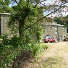
Stabling at Bowden Hall
2.8 km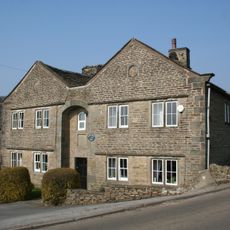
Slackhall Farmhouse
2 km
Chamberknoll Farmhouse And Attached Outbuilding
2.8 km
Watt's Grove Rake lead mines 520m north of Sweetknoll
2.8 km
Malcoff Farmhouse
2.4 km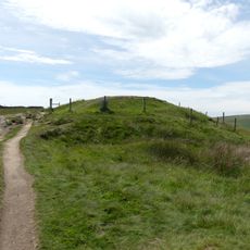
Lord's Seat bowl barrow
2.2 kmHeeft u deze plek bezocht? Tik op de sterren om een beoordeling te geven en uw ervaring of foto's te delen met de community! Probeer het nu! U kunt het op elk moment annuleren.
Ontdek verborgen schatten op elk avontuur!
Van karakteristieke kleine cafeetjes tot geheime uitzichtpunten – ontvlucht de drukte en vind plekken die echt bij jou passen. Onze app maakt het makkelijk: spraakzoekopdrachten, slimme filters, geoptimaliseerde routes en authentieke tips van reizigers wereldwijd. Download nu en beleef het avontuur op je smartphone!

Een nieuwe benadering van toeristische ontdekking❞
— Le Figaro
Alle plekken die de moeite waard zijn om te ontdekken❞
— France Info
Een uitstapje op maat in slechts een paar klikken❞
— 20 Minutes