
Church of St John, kerkgebouw in Verenigd Koninkrijk
Locatie: Plenmeller with Whitfield
GPS-coördinaten: 54.91989,-2.34760
Laatste update: 7 maart 2025 om 05:48

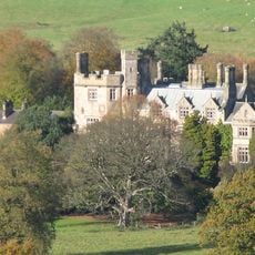
Ridley Hall
5.9 km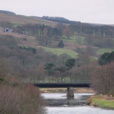
Ridley Railway Bridge
6.2 km
Millhouse Bridge
5.9 km
Allen Confluence Gravels
2.3 km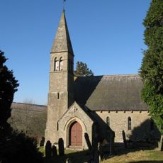
Church of St Mark
6 km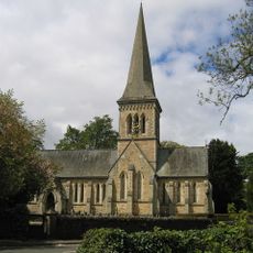
Church of the Holy Trinity
1.6 km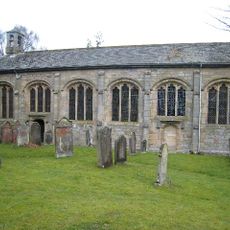
Church of St Cuthbert
5.7 km
Church of All Hallows
6.1 km
Former Chapel On West Side Of Green
5 km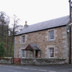
The Old Post Office And Adjacent Outbuildings
1 km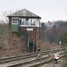
Bardon Mill signal box
6.1 km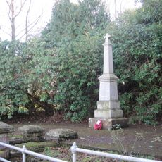
Keenley and Broadside War Memorial
3.4 km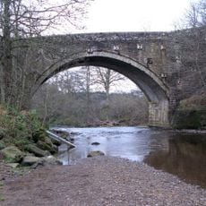
Blueback Bridge Over River West Allen
1.4 km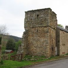
Ninebanks tower house
5.2 km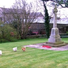
Bardon Mill War Memorial
6.2 km
Blacksmith's Shop And Adjoining House
1 km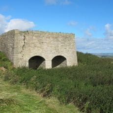
Limekiln In Disused Quarry, 170 Metres South Of Keenley Thorn Farmhouse
2.6 km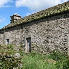
Range Of Buildings To North West Of Monk Farmhouse
1.9 km
Willimontswick Farmhouse
5.2 km
Whitewalls
5.9 km
Blackett Bridge Over The River West Allen
4.4 km
Whitfield Old Toll House
3 km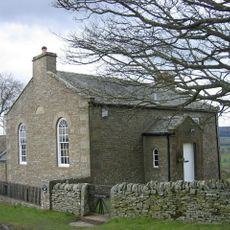
High House Methodist Chapel And Area Railings
4.1 km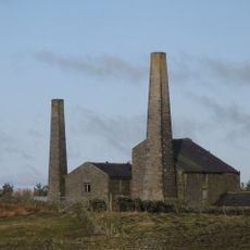
Old Coal Mine Buildings South-east Of Stublick Farmhouse
5.8 km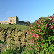
Willimontswick Gatehouse And Adjacent Ranges
5.3 km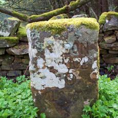
Milestone, Whitfield Moor, S of Parmently Cottage, beside Whinneysike Plantation
4.5 km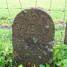
Milestone, Bears Bridge
881 m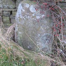
Milestone, Holmesfield, by gate
5.1 kmHeeft u deze plek bezocht? Tik op de sterren om een beoordeling te geven en uw ervaring of foto's te delen met de community! Probeer het nu! U kunt het op elk moment annuleren.
Ontdek verborgen schatten op elk avontuur!
Van karakteristieke kleine cafeetjes tot geheime uitzichtpunten – ontvlucht de drukte en vind plekken die echt bij jou passen. Onze app maakt het makkelijk: spraakzoekopdrachten, slimme filters, geoptimaliseerde routes en authentieke tips van reizigers wereldwijd. Download nu en beleef het avontuur op je smartphone!

Een nieuwe benadering van toeristische ontdekking❞
— Le Figaro
Alle plekken die de moeite waard zijn om te ontdekken❞
— France Info
Een uitstapje op maat in slechts een paar klikken❞
— 20 Minutes