
Trysull and Seisdon, civil parish in South Staffordshire, Staffordshire, England
Locatie: South Staffordshire
GPS-coördinaten: 52.54713,-2.23362
Laatste update: 29 maart 2025 om 22:25
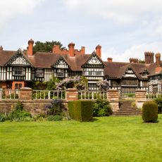
Wightwick Manor
4.8 km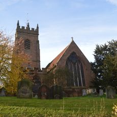
All Saints Church, Claverley
5.1 km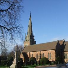
Church of St Benedict Biscop
3.6 km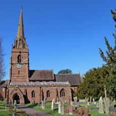
Church of St Chad
5.2 km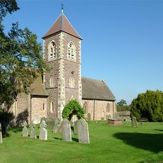
Church of the Holy Cross
5.2 km
Church of All Saints
958 m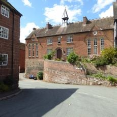
Church of England School
5.1 km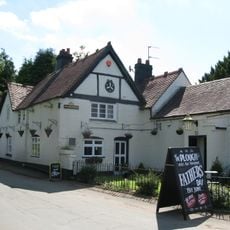
The Plough Inn
968 m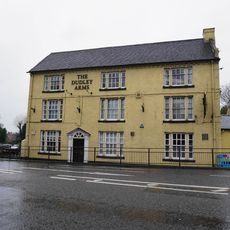
The Dudley Arms
5 km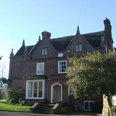
Trysull Manor House And Attached Coach House And Stable Block
693 m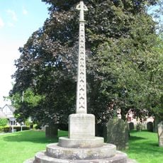
Trysull and Seisdon War Memorial
937 m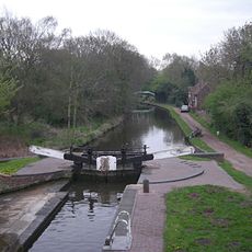
Botterham bridge and locks with adjacent circular weir
3.5 km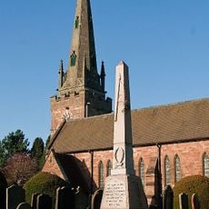
Wombourne War Memorial
3.6 km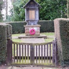
Claverley War Memorial
6 km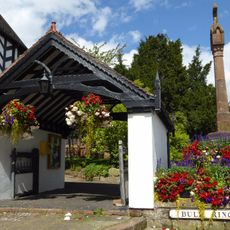
Lychgate
5.1 km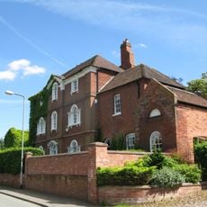
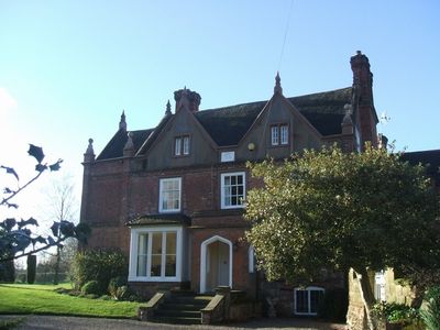
The Red House
814 m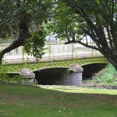
Bridge Over Smestow Brook
932 m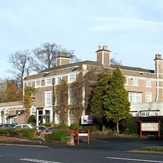
Himley House Hotel
5.1 km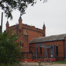
The Bratch Water Pumping Station
2.7 km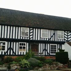
The Vicarage
5.1 km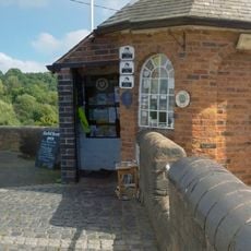
Staffordshire And Worcestershire Canal Bratch Locks, Bridge Number 47 (Bratch Bridge) Staffordshire And Worcestershire Canal Upper Bratch Bridge And Associated Toll House
2.6 km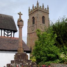
Churchyard cross
5.1 km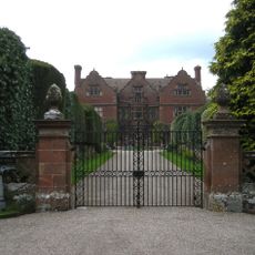
Ludstone Hall
4.2 km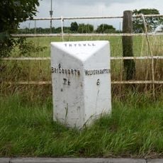
Milepost, E of Fox Road jct, opp public house car Park
2.4 km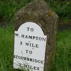
Milestone, Stourbridge Road, Lloyd Hill
4.2 km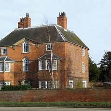
The Old Rectory
5.2 km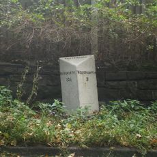
Milepost, Bridgnorth Road, Wightwick
4.4 km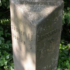
Milepost, SE of Smestow Bridge
2.6 kmHeeft u deze plek bezocht? Tik op de sterren om een beoordeling te geven en uw ervaring of foto's te delen met de community! Probeer het nu! U kunt het op elk moment annuleren.
Ontdek verborgen schatten op elk avontuur!
Van karakteristieke kleine cafeetjes tot geheime uitzichtpunten – ontvlucht de drukte en vind plekken die echt bij jou passen. Onze app maakt het makkelijk: spraakzoekopdrachten, slimme filters, geoptimaliseerde routes en authentieke tips van reizigers wereldwijd. Download nu en beleef het avontuur op je smartphone!

Een nieuwe benadering van toeristische ontdekking❞
— Le Figaro
Alle plekken die de moeite waard zijn om te ontdekken❞
— France Info
Een uitstapje op maat in slechts een paar klikken❞
— 20 Minutes