
Hanwell, village and civil parish in Cherwell district, Oxfordshire, England
Locatie: Cherwell District
GPS-coördinaten: 52.09013,-1.36652
Laatste update: 28 april 2025 om 02:58
Wroxton Abbey
2.8 km
Banbury Museum
3.7 km
Church of St Mary
3.7 km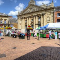
Facade, Cornhill Corn Exchange, Castle Centre
3.7 km
Roebuck Inn
1.9 km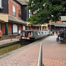
Banbury Museum & Gallery
3.7 km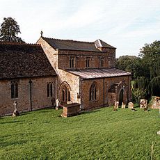
Church of St Peter
2.3 km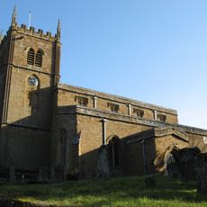
Church of All Saints, Wroxton
2.6 km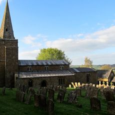
Church of St Lawrence
2 km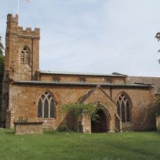
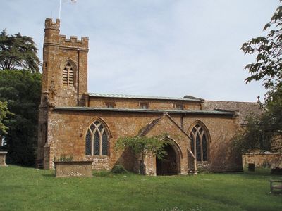
Church of St Peter
164 m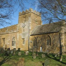
Church of St Ethelreda
1.8 km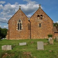
Church of All Saints
2.8 km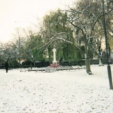
Banbury War Memorial In The People's Park
3.6 km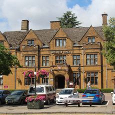
Whately Hall Hotel
3.7 km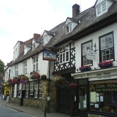
Ye Olde Reine Deer Inn
3.7 km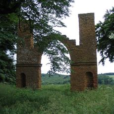
Drayton Arch Approximately 300 Metres To South Of Park Farmhouse
2.7 km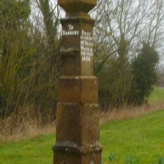
Stone Guide Post
3.3 km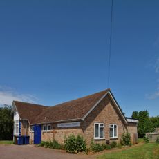
St Paul's Church Centre
3 km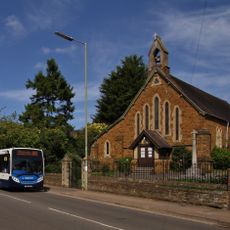
Saint Paul's
3.2 km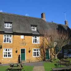
The North Arms Public House
2.8 km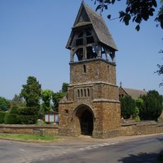
Lychgate at Church of All Saints
2.8 km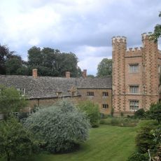
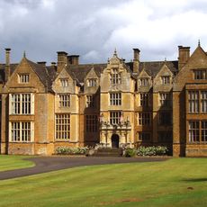
Hanwell Castle
174 m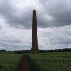
Obelisk Approximately 400 Metres South East Of Wroxton College
2.9 km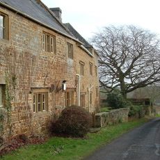
Manor House
1.8 km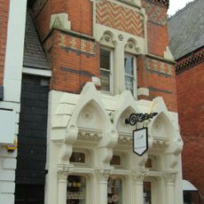
Rain Restaurant And Wine Bar
3.7 km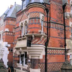
Dodd Insurance Brokers
3.7 km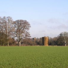
Dovecote Approximately 200 Metres South West Of Wroxton College
3 km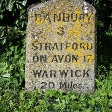
Milestone, Stratford Road; opp. White Horse PH
2.7 kmBeoordelingen
Heeft u deze plek bezocht? Tik op de sterren om een beoordeling te geven en uw ervaring of foto's te delen met de community! Probeer het nu! U kunt het op elk moment annuleren.
Ontdek verborgen schatten op elk avontuur!
Van karakteristieke kleine cafeetjes tot geheime uitzichtpunten – ontvlucht de drukte en vind plekken die echt bij jou passen. Onze app maakt het makkelijk: spraakzoekopdrachten, slimme filters, geoptimaliseerde routes en authentieke tips van reizigers wereldwijd. Download nu en beleef het avontuur op je smartphone!

Een nieuwe benadering van toeristische ontdekking❞
— Le Figaro
Alle plekken die de moeite waard zijn om te ontdekken❞
— France Info
Een uitstapje op maat in slechts een paar klikken❞
— 20 Minutes