
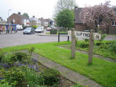
Slip End, village and civil parish in Bedfordshire, UK
Locatie: Central Bedfordshire
GPS-coördinaten: 51.85465,-0.43363
Laatste update: 13 maart 2025 om 07:49

Kenilworth Road
3.3 km
Luton Hoo
2.5 km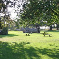
Stockwood Park
1.3 km
Luton Town Hall
3 km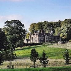
Cell Park
2.4 km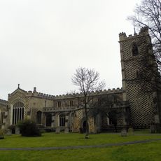
St Mary's Church, Luton
3.1 km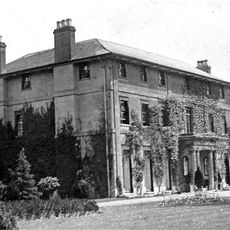
Caddington Hall
1.7 km
Mossman Collection
1.4 km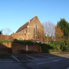
Our Lady Help of Christians Church, Luton
2.6 km
Luton Workhouse
3 km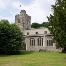
Church of All Saints
2.1 km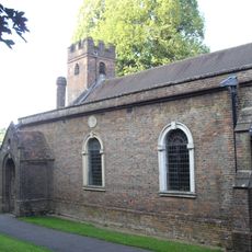
Church of St John the Baptist
2.6 km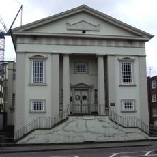
Baptist Union Church
2.7 km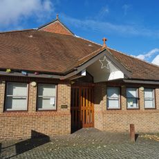
Saint Paul's Church
2.5 km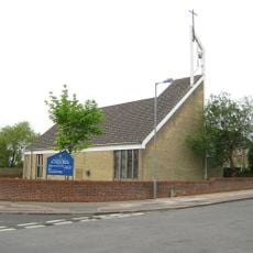
Saint John the Baptist, Farley Hill
2 km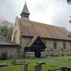
Church of St Andrew, Slip End
387 m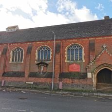
Saint Saviour's Church
2.4 km
Luton War Memorial
3 km
Luton Central Library
3.2 km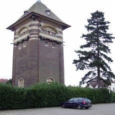
Bailey Hill Water Tower
2 km
Luton Library Theatre
3.2 km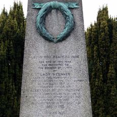
Luton Hoo War Memorial
1.9 km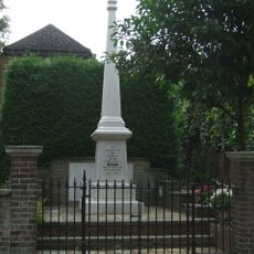
Markyate War Memorial
2.7 km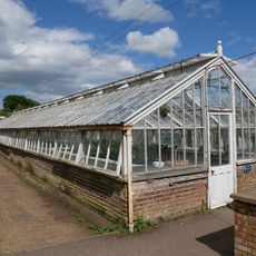
Glasshouses at Stockwood Park
1.4 km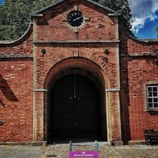
Stockwood House Stable Block
1.3 km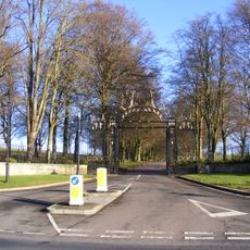
Gates Flanking Walls And Railings At London Road Lodge (New Lodge)
1.7 km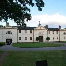
Luton Hoo Stables, Including Frontage Range And Rear Courtyard Buildings, Incorporating Stable Master's House
2.5 km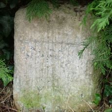
Milestone Opposite No 51
2.8 kmBeoordelingen
Heeft u deze plek bezocht? Tik op de sterren om een beoordeling te geven en uw ervaring of foto's te delen met de community! Probeer het nu! U kunt het op elk moment annuleren.
Ontdek verborgen schatten op elk avontuur!
Van karakteristieke kleine cafeetjes tot geheime uitzichtpunten – ontvlucht de drukte en vind plekken die echt bij jou passen. Onze app maakt het makkelijk: spraakzoekopdrachten, slimme filters, geoptimaliseerde routes en authentieke tips van reizigers wereldwijd. Download nu en beleef het avontuur op je smartphone!

Een nieuwe benadering van toeristische ontdekking❞
— Le Figaro
Alle plekken die de moeite waard zijn om te ontdekken❞
— France Info
Een uitstapje op maat in slechts een paar klikken❞
— 20 Minutes