
Ljubinje Municipality, municipality of Bosnia and Herzegovina
Locatie: Republika Srpska
Hoofdstad: Ljubinje
Grenst aan: Berkovići Municipality, City of Stolac, Neum Municipality, City of Trebinje, Bileća Municipality
GPS-coördinaten: 42.95306,18.10889
Laatste update: 13 april 2025 om 10:42
Daorsi
22.4 km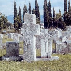
Necropolis of stecci at Radimlja, the historic site
21.7 km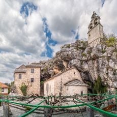
Zavala Monastery
15.6 km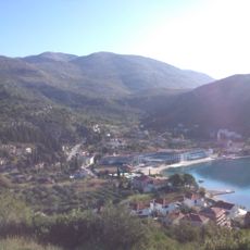
Slano
25.5 km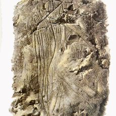
Badanj Cave
23.9 km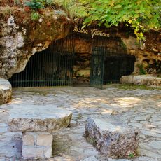
Vjetrenica
15.7 km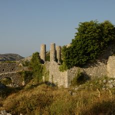
Hutovo Fortress
24.1 km
Brsečine
27.7 km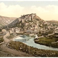
Walled town of Vidoški
18.9 km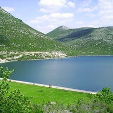
Vrutak
22.7 km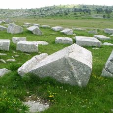
Stećci
21.6 km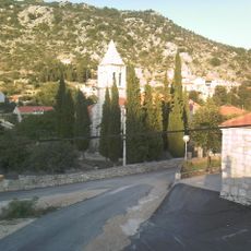
Osojnik, Dubrovnik
26.9 km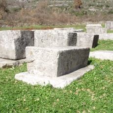
Boljuni necropolis
20.8 km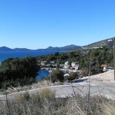
Banići
26.8 km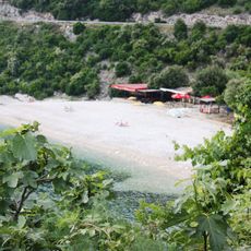
Veliki žali Beach
27.9 km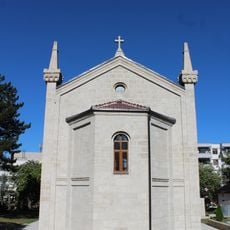
Crkva Svetog Save
27.5 km
Ljubač, Dubrovnik
26.7 km
Ensemble naturel et architectural de la Bregava à Stolac
15.9 km
Église Saint-Lazare de Vlahovići
6.5 km
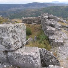
Prehistoric hillfort Strazevica
18.7 km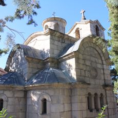
Saint Lazarus church in Bileća
27.4 km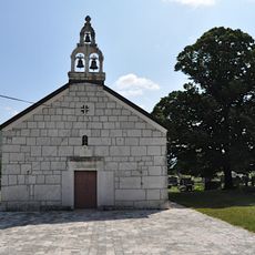
Church of the Nativity of Holy Virgin Mary Ljubinje
1.4 km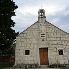
Trnova
25.5 km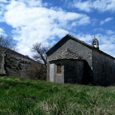
Église Saint-Basile-d'Ostrog de Mišljen
9.4 km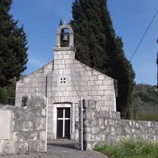
Točionik
25.7 km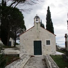
Podgora
25.2 km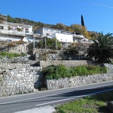
Kručica
27.6 km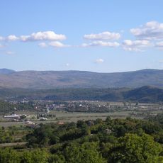
Stolačko polje
20.8 kmHeeft u deze plek bezocht? Tik op de sterren om een beoordeling te geven en uw ervaring of foto's te delen met de community! Probeer het nu! U kunt het op elk moment annuleren.
Ontdek verborgen schatten op elk avontuur!
Van karakteristieke kleine cafeetjes tot geheime uitzichtpunten – ontvlucht de drukte en vind plekken die echt bij jou passen. Onze app maakt het makkelijk: spraakzoekopdrachten, slimme filters, geoptimaliseerde routes en authentieke tips van reizigers wereldwijd. Download nu en beleef het avontuur op je smartphone!

Een nieuwe benadering van toeristische ontdekking❞
— Le Figaro
Alle plekken die de moeite waard zijn om te ontdekken❞
— France Info
Een uitstapje op maat in slechts een paar klikken❞
— 20 Minutes