
Hopkinton, Rhode Island, town in Washington County, Rhode Island, United States
Locatie: Washington County
Hoogte boven de zeespiegel: 53 m
Grenst aan: Voluntown
Website: http://hopkintonri.org
GPS-coördinaten: 41.46111,-71.77750
Laatste update: 16 maart 2025 om 13:24
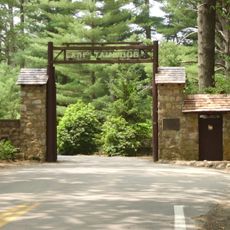
Yawgoog Scout Reservation
6.6 km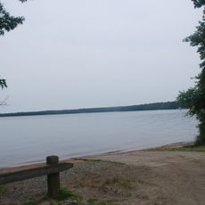
Burlingame State Park
12.7 km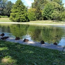
Wilcox Park
10.2 km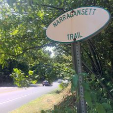
Narragansett Trail
13.9 km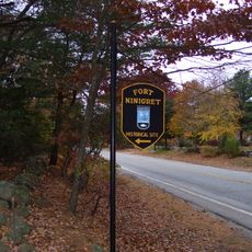
Fort Ninigret
14 km
Tomaquag Rock Shelters
2.5 km
Shannock Historic District
11.5 km
Ell Pond
4.9 km
Westerly Downtown Historic District
10.3 km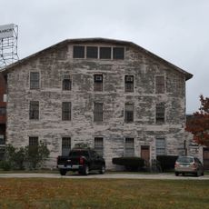
Mechanic Street Historic District
10.8 km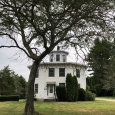
Albert S. Potter Octagon House
9.7 km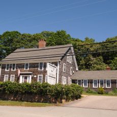
Joseph Stanton House
13.1 km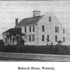
Babcock-Smith House
10.6 km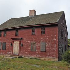
John Randall House
8.5 km
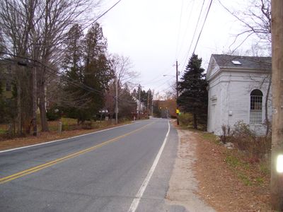
Hopkinton City Historic District
1 m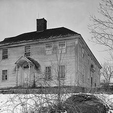
North Stonington Village Historic District
9.1 km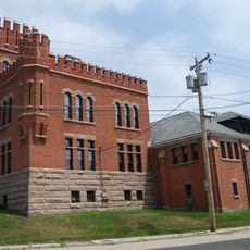
Westerly Armory
9.8 km
Main Street Historic District
10.7 km
North End Historic District
9.2 km
Joseph Jeffrey House
10 km
Samuel Miner House
9.5 km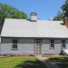
John Hoxsie House
11 km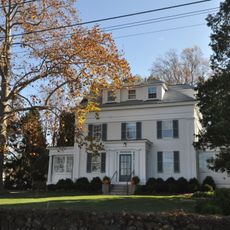
Perry Homestead Historic District
11.2 km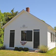
District Schoolhouse No. 2
13.5 km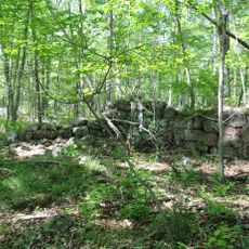
Hillsdale Historic and Archeological District
13.3 km
Lewis-Card-Perry House
12.2 km
Tomaquag Indian Museum
12.6 km
Hope Valley Historic District
7.3 kmBeoordelingen
Heeft u deze plek bezocht? Tik op de sterren om een beoordeling te geven en uw ervaring of foto's te delen met de community! Probeer het nu! U kunt het op elk moment annuleren.
Ontdek verborgen schatten op elk avontuur!
Van karakteristieke kleine cafeetjes tot geheime uitzichtpunten – ontvlucht de drukte en vind plekken die echt bij jou passen. Onze app maakt het makkelijk: spraakzoekopdrachten, slimme filters, geoptimaliseerde routes en authentieke tips van reizigers wereldwijd. Download nu en beleef het avontuur op je smartphone!

Een nieuwe benadering van toeristische ontdekking❞
— Le Figaro
Alle plekken die de moeite waard zijn om te ontdekken❞
— France Info
Een uitstapje op maat in slechts een paar klikken❞
— 20 Minutes